


What's Happening?
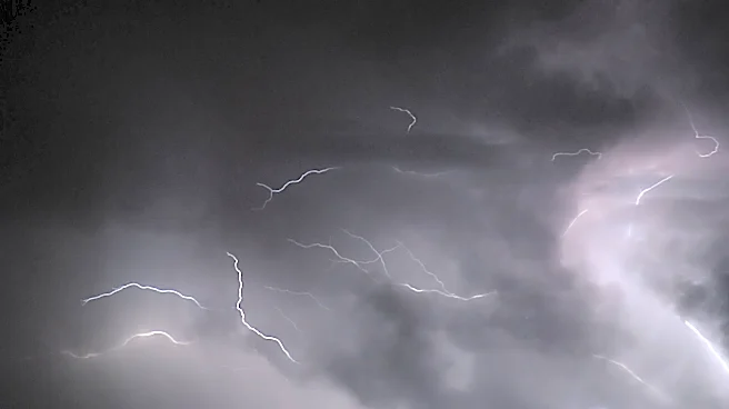
Parts of the Midwest and the eastern United States are experiencing multiple rounds of severe thunderstorms, bringing risks of damaging winds, hail, and flash flooding. Major cities such as Minneapolis, Detroit, Pittsburgh, Philadelphia, Baltimore, and Washington,
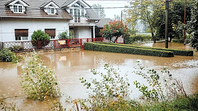
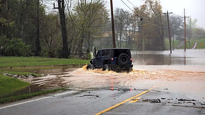
D.C., are at risk. The storms, which are not confined to traditional afternoon and evening hours, are expected to continue into Friday, with some areas potentially experiencing multiple episodes of severe weather daily. AccuWeather experts indicate that localized wind gusts could reach between 60 and 70 mph, with peaks up to 80 mph. Flash flooding is a significant concern, especially in central New York and Pennsylvania, where rainfall rates could reach up to 2 inches per hour and totals exceeding 3 inches in some locations. These weather events are occurring around the northern and eastern edge of a heat dome situated over the south-central U.S.
Why It's Important?
The ongoing severe weather poses significant threats to infrastructure, public safety, and daily life across a broad region of the U.S. Damaging winds and flash flooding can lead to widespread power outages, downed trees, and impassable roads, disrupting transportation and essential services. The potential for flight delays and cancellations at major airport hubs will impact travel plans for thousands. Economically, the damage to property from flooding and high winds can be substantial, leading to costly repairs and insurance claims. For residents, the risk of flash flooding, particularly in urban areas and along small streams, necessitates heightened awareness and preparedness. The rare, multi-day nature of these severe storms, especially in areas like Philadelphia, underscores a growing challenge in managing extreme weather events and their cumulative impact on communities.
What's Next?
The severe weather threat is expected to persist through Friday, with new rounds of torrential rain and strong storms anticipated in parts of the Midwest and Northeast. The system is projected to gradually shift southward, potentially affecting the Ohio Valley and the southeastern United States over the Labor Day weekend. Residents in affected areas are urged to continuously monitor weather updates for rapidly changing conditions. Those planning outdoor activities, such as beach trips or camping, should be particularly vigilant due to the risk of lightning strikes and rapid flooding. Emergency services and utility crews will likely continue to address power outages and clear debris. Local officials may issue further advisories or warnings as the storm system evolves, emphasizing the need for public caution and preparedness.
Beyond the Headlines
The recurring and intense nature of these severe weather events, including flash flooding and damaging winds, highlights broader implications related to climate patterns and urban resilience. The mention of a heat dome influencing the storm's trajectory suggests a connection to larger atmospheric phenomena that could become more frequent or intense. For urban centers, the challenge of managing stormwater and preventing flash flooding is exacerbated by increased impervious surfaces and aging infrastructure. The long-term shifts in weather patterns could necessitate significant investments in infrastructure upgrades and more robust early warning systems. Furthermore, the impact on agriculture and forestry in the Midwest, as noted in a NASA research article regarding climate change effects, points to potential long-term economic and environmental consequences beyond immediate storm damage.