


What's Happening?
The National Weather Service (NWS) has issued multiple winter storm warnings across northwest and central Wyoming, affecting mountain regions such as Yellowstone National Park, the Absaroka Mountains, and the Teton and Gros Ventre Mountains. These warnings are
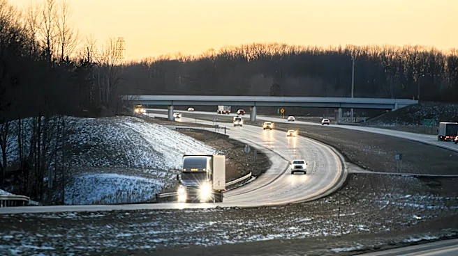
in effect until 6 a.m. MDT Friday, with forecasts predicting additional snow accumulations of up to 6 inches along the highest peaks and winds gusting up to 35 mph. Travel conditions are expected to be very difficult, particularly across Teton Pass and Togwotee Pass, due to blowing snow and strong winds reducing visibility. In addition, a winter storm warning remains in effect through Friday evening for the Wind River Mountains, where up to 5 inches of snow is expected at higher elevations. Widespread winter weather advisories cover much of central and eastern Wyoming, including Casper Mountain, the Bighorn Mountains, and parts of Johnson and Natrona counties, with snow totals of 3 to 8 inches possible and snow squalls creating near-whiteout conditions.
Why It's Important?
The winter storm warnings and advisories issued by the NWS highlight the potential for hazardous travel conditions across Wyoming, impacting both local residents and travelers. The severe weather could disrupt daily commutes and travel plans, particularly in mountainous areas where visibility is reduced and roads may become slick and dangerous. The warnings also serve as a reminder of the unpredictable nature of late-season storms, which can pose risks to safety and infrastructure. The advisories may prompt local authorities and residents to take precautionary measures to ensure safety, such as delaying travel or preparing for potential power outages due to the storm's impact.
What's Next?
As the storm progresses, residents and travelers in affected areas are advised to monitor weather updates and heed warnings from the NWS. Local authorities may implement road closures or travel restrictions to ensure public safety. The storm's impact on travel and infrastructure could lead to increased demand for emergency services and resources. Additionally, the storm system is expected to move east, potentially affecting other regions with similar weather conditions. Stakeholders, including transportation departments and emergency management agencies, will likely continue to assess the situation and respond accordingly to minimize disruptions and ensure public safety.
Beyond the Headlines
The late-season storm underscores the challenges posed by unpredictable weather patterns, which can have broader implications for climate and environmental management. The occurrence of such storms may prompt discussions on the need for improved infrastructure resilience and emergency preparedness in regions prone to severe weather. Additionally, the storm's impact on agriculture and outdoor activities could have economic consequences, highlighting the importance of adaptive strategies to mitigate risks associated with extreme weather events.