

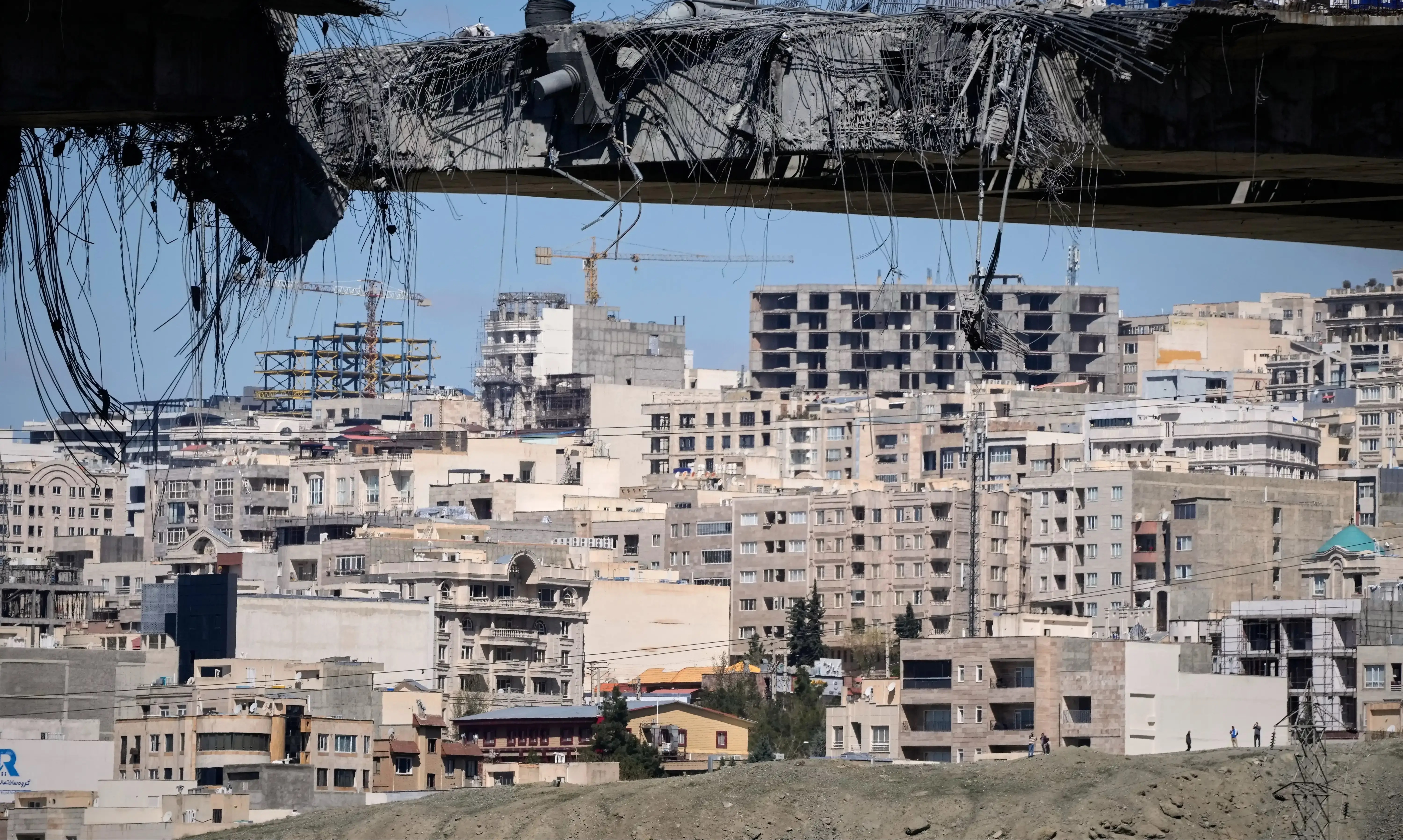
What's Happening?
Planet Labs, a satellite imaging firm based in California, has announced it will indefinitely withhold imagery of Iran and the surrounding conflict region in the Middle East. This decision comes in response to a request from the U.S. government, which
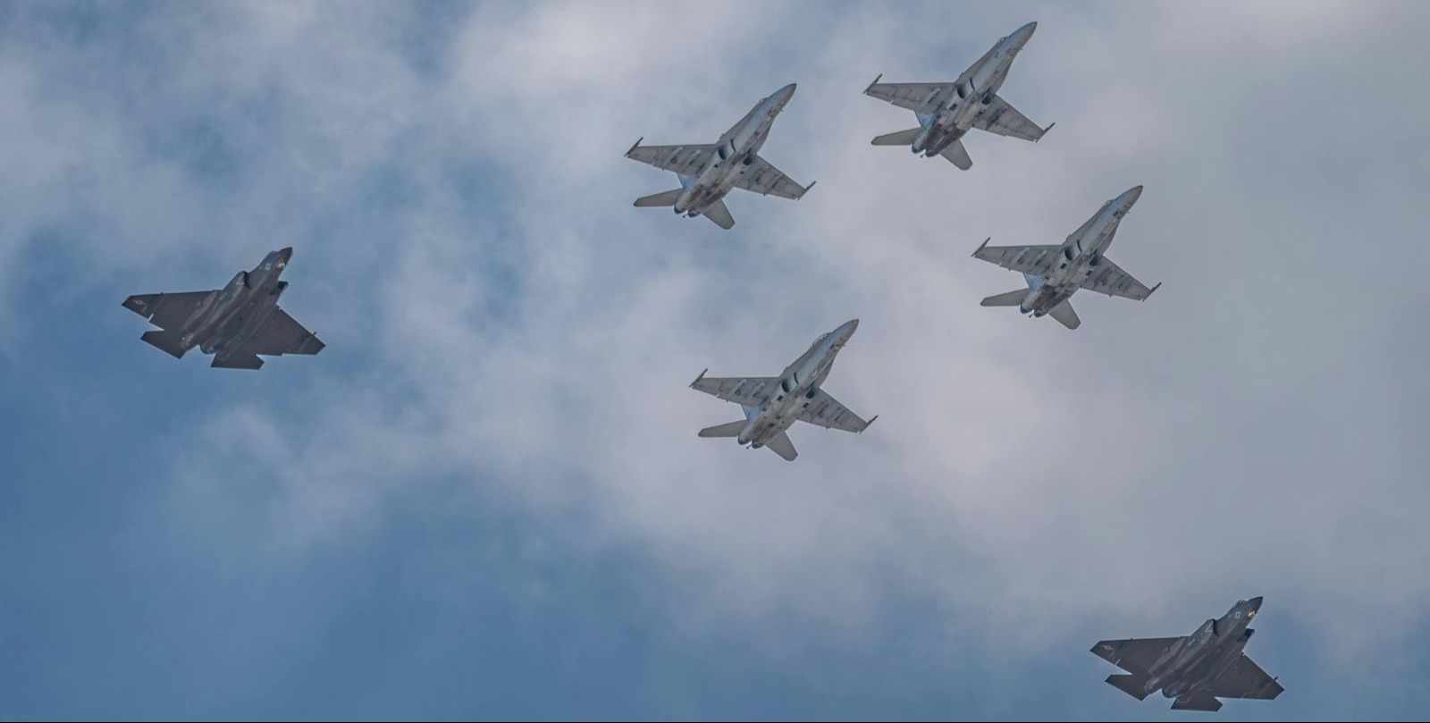
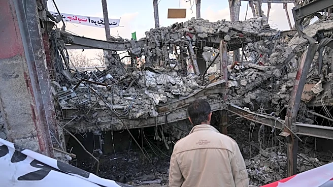
has asked all satellite imagery providers to refrain from releasing images of the conflict area. Previously, Planet Labs had imposed a 14-day delay on such imagery to prevent adversaries from using it against the U.S. and its allies. The conflict began on February 28 when the U.S. and Israel attacked Iran, prompting retaliatory strikes from Tehran on Israel and U.S. bases in Gulf states. The withheld imagery dates back to March 9, and the policy will remain until the conflict concludes. Planet Labs operates a large fleet of Earth-imaging satellites and provides images to governments, companies, and media. The firm plans to manage the distribution of images, releasing them on a case-by-case basis for urgent or public interest needs.
Why It's Important?
The decision by Planet Labs to withhold satellite imagery has significant implications for military operations, journalism, and academic research. Satellite images are crucial for military uses such as target identification and missile tracking. By restricting access, the U.S. aims to prevent adversaries from gaining strategic advantages. This move also affects journalists and researchers who rely on satellite data to study conflict zones. The withholding of images underscores the sensitive nature of satellite data in geopolitical conflicts and highlights the role of commercial satellite firms in national security. The decision reflects the balance these companies must maintain between commercial interests and government directives during times of conflict.
What's Next?
Planet Labs will continue to assess the situation and release images on a managed basis, prioritizing urgent and mission-critical needs. The firm will likely face ongoing scrutiny from stakeholders, including governments and media organizations, regarding its image distribution policies. Other satellite imagery providers, such as Vantor and BlackSky Technology, may also adjust their policies in response to government requests or geopolitical developments. The situation may evolve as the conflict progresses, potentially leading to further restrictions or changes in satellite imagery access.