


What's Happening?
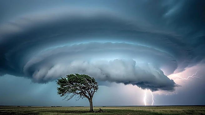
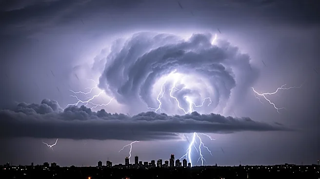
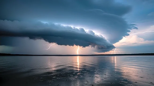
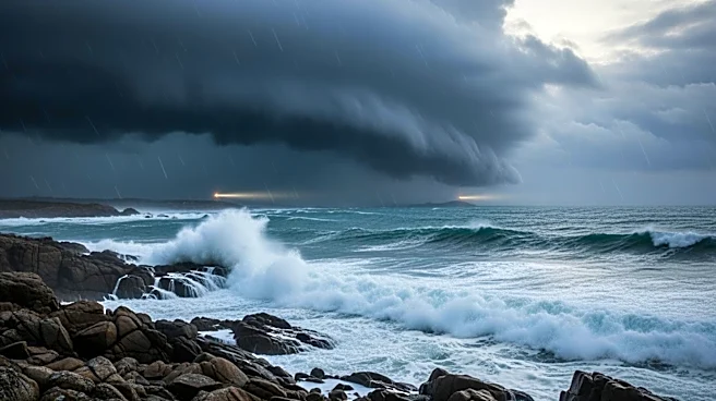
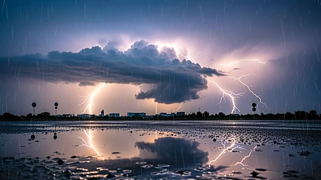
The National Weather Service has issued warnings for several rounds of showers and thunderstorms across western, central, and north-central New York. These storms are expected to bring gusty winds and potentially damaging wind gusts. The region is under a marginal
risk for severe weather, with the most significant threats occurring late morning through the afternoon and again late at night. Additional storms are anticipated through Wednesday and Thursday, with potential impacts on marine conditions in Lakes Erie and Ontario.
Why It's Important?
The severe weather poses a risk to public safety and infrastructure, with the potential for power outages and property damage due to high winds. Residents are advised to prepare for possible disruptions and to stay informed about weather updates. The impact on marine conditions could affect transportation and recreational activities on the lakes. This weather event highlights the importance of emergency preparedness and the need for effective communication from weather services to the public.
What's Next?
Residents should monitor weather updates and heed any advisories or warnings issued by local authorities. Preparations for potential power outages and securing outdoor items are recommended. The National Weather Service will continue to provide updates as the situation develops. In the aftermath, assessments of any damage and restoration efforts will be necessary to ensure community safety and recovery.