


What's Happening?
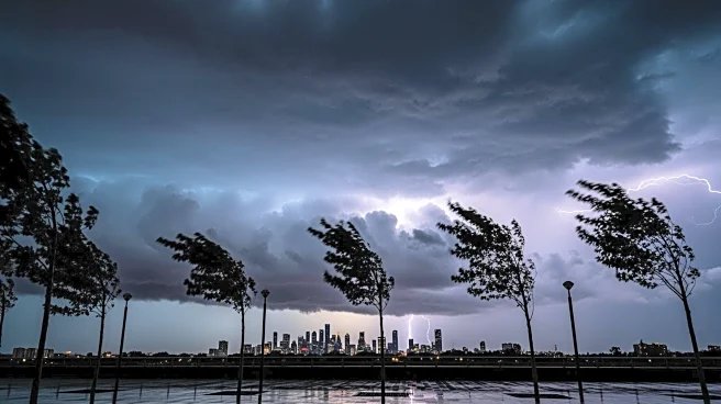
CBS News New York has issued a First Alert Weather Day for the New York area due to expected heavy rain, strong winds, and severe thunderstorms. A potent cold front is approaching, bringing conditions that could rapidly deteriorate throughout Monday.
A Wind Advisory is in effect for New York City, Long Island, Connecticut, and parts of New Jersey, with wind gusts potentially exceeding 60 mph. The area is also under a Flood Watch, particularly in Fairfield County, with anticipated rainfall of 1-2 inches and locally higher amounts. There is a slim chance of tornadoes, mainly west of the city, adding to the severe weather threat.
Why It's Important?
The severe weather conditions could have widespread impacts on the New York area, affecting transportation, safety, and daily life. Flash flooding and high winds pose risks to infrastructure and can lead to power outages, property damage, and disruptions in public services. The potential for tornadoes, although low, underscores the need for vigilance and preparedness among residents. Such weather events can strain emergency response systems and have economic repercussions, particularly for businesses and commuters. The declaration of a First Alert Weather Day highlights the seriousness of the situation and the need for public awareness and readiness.
What's Next?
Residents are advised to stay informed through weather updates and follow guidance from local authorities. The Wind Advisory and Flood Watch remain in effect, and conditions are expected to worsen as the cold front moves through. Emergency services are likely to be on standby to address any incidents related to flooding or wind damage. As the cold front passes, temperatures will drop, leading to a cold and blustery St. Patrick's Day. The weather is expected to improve later in the week, with temperatures rising back to the 50s.