



What's Happening?
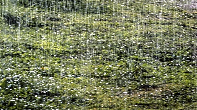
Houston is set to experience increased rainfall over the coming days, providing a temporary reprieve from the intense summer heat. Recent weather patterns have brought significant rain to areas west of Sugar Land and Pearland, with some locations receiving
up to 4 inches. The forecast predicts continued rain through the weekend, which could help lower temperatures to the mid-90s. However, by midweek, the region is expected to return to typical August heat, with highs nearing 100 degrees and reduced rain chances.
Why It's Important?
The anticipated rainfall offers much-needed relief from the oppressive heat that characterizes Houston's summers. This weather shift can help mitigate the risk of heat-related illnesses and reduce the strain on energy resources as air conditioning usage peaks. The rain also benefits local agriculture and water supplies, which can be stressed during prolonged heat waves. However, the return to high temperatures underscores the ongoing challenges of managing extreme weather conditions in the region.
What's Next?
As the rain subsides, Houston will likely face another heat wave, prompting potential heat advisories. Residents are advised to stay hydrated and take precautions against heat exposure. The city may also need to prepare for increased energy demand as temperatures rise. Long-term, these weather patterns highlight the importance of infrastructure and community planning to address the impacts of climate variability.