
What's Happening?
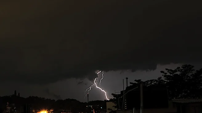
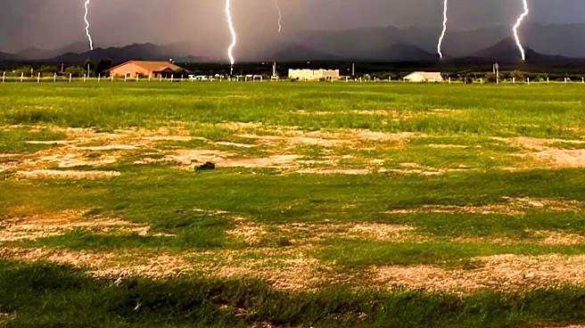
Central Mississippi is experiencing a surge in humidity and heat index values due to the return of deep Gulf moisture. This weather pattern is expected to bring scattered afternoon thunderstorms as the weekend approaches. According to WLBT, temperatures
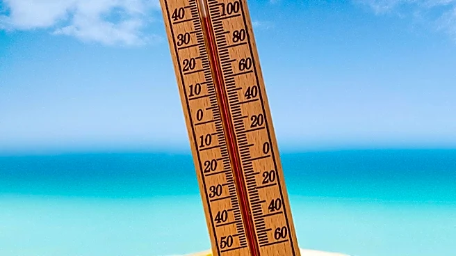
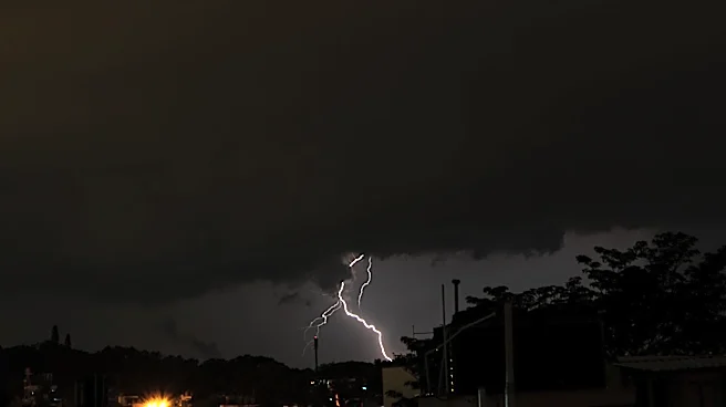
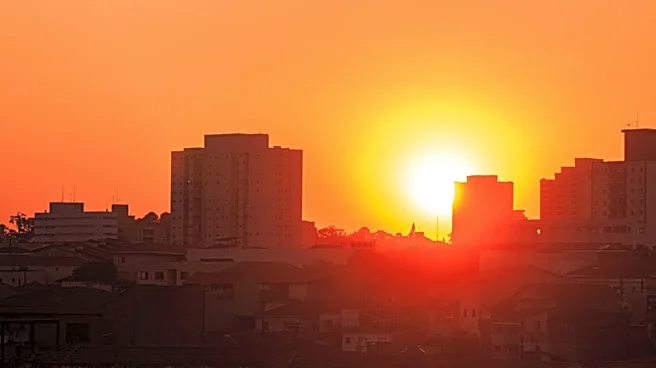
are forecasted to reach the mid- to upper 90s, with heat index values making it feel like 102 to 107 degrees. These oppressive conditions are anticipated to expand on Friday. The region will see pop-up showers and thunderstorms, which may offer temporary relief in some areas. The weather pattern is expected to persist into early next week, with high temperatures remaining in the mid-90s. This combination of heat and moisture is likely to trigger widespread heat concerns, and heat advisories may be issued.
Why It's Important?
The increase in heat and humidity poses significant health risks, particularly for vulnerable populations such as the elderly and those with pre-existing health conditions. The potential issuance of heat advisories highlights the severity of the situation, as prolonged exposure to high temperatures can lead to heat-related illnesses. Additionally, the scattered thunderstorms, while providing some relief, could result in localized flooding and disruptions. The weather conditions could also impact outdoor activities and agricultural operations in the region, affecting local economies and daily life.
What's Next?
As the weather pattern continues, residents in Central Mississippi should prepare for ongoing heat and humidity. It is advisable to stay informed about potential heat advisories and take necessary precautions to avoid heat-related illnesses. The National Weather Service may issue further updates and warnings as conditions develop. Local authorities and emergency services are likely to monitor the situation closely, ready to respond to any weather-related incidents. Residents should also be prepared for possible disruptions due to thunderstorms, including power outages and travel delays.