



What's Happening?
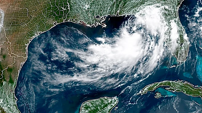
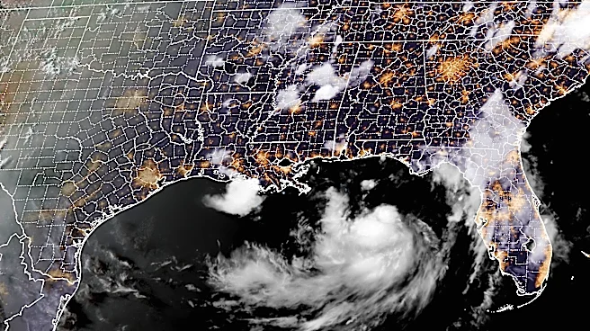
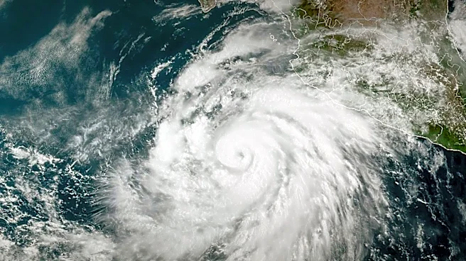
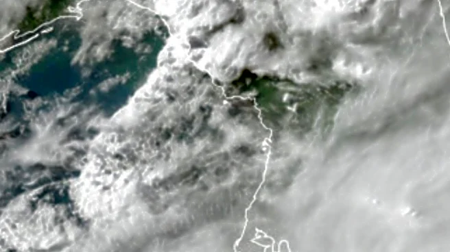
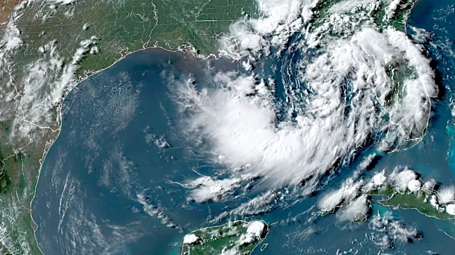
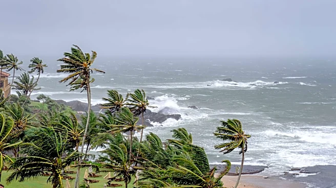
Tropical Storm Bertha is nearing landfall in southeastern Louisiana, bringing tropical-storm-force winds and coastal flooding to the northern Gulf Coast. The storm, which formed in the northeastern Gulf, is expected to impact areas from the Florida Panhandle
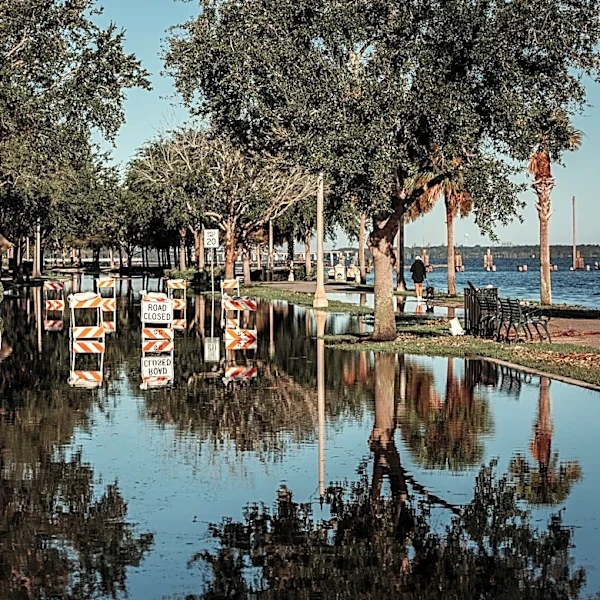
to Louisiana with heavy rain and strong winds. Bertha's current trajectory suggests it may dissipate over land or reform offshore, potentially affecting Texas with further rain and wind. The National Hurricane Center has issued warnings for the region, with expectations of up to 4 feet of coastal flooding in low-lying areas. The storm's lopsided nature means most rain will fall on the southern side, potentially causing flash flooding in coastal and inland areas.
Why It's Important?
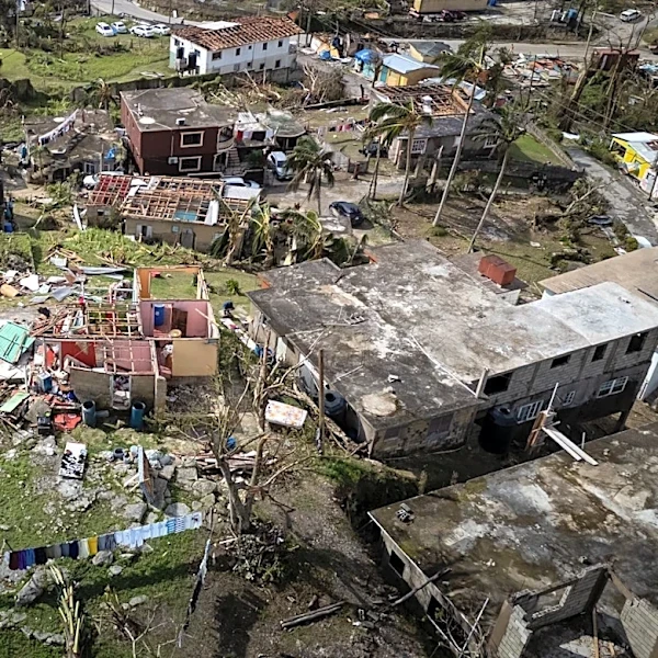
Bertha's approach highlights the ongoing vulnerability of the Gulf Coast to tropical storms, particularly in areas still recovering from previous weather events. The potential for flash flooding and coastal inundation poses risks to communities, infrastructure, and local economies. The storm's impact on transportation and energy sectors could have broader economic implications, affecting supply chains and energy prices. The situation underscores the importance of preparedness and resilience in the face of increasingly frequent and severe weather events, driven by climate change.
What's Next?
As Bertha makes landfall, emergency services are on high alert, with preparations for potential evacuations and disaster response. Residents are advised to monitor official updates and take necessary precautions. The storm's progression will be closely watched, with potential impacts on Texas if the storm reforms. Recovery efforts will focus on addressing flood damage and restoring services, with long-term considerations for improving infrastructure resilience and community preparedness.