





What's Happening?
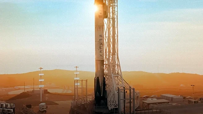
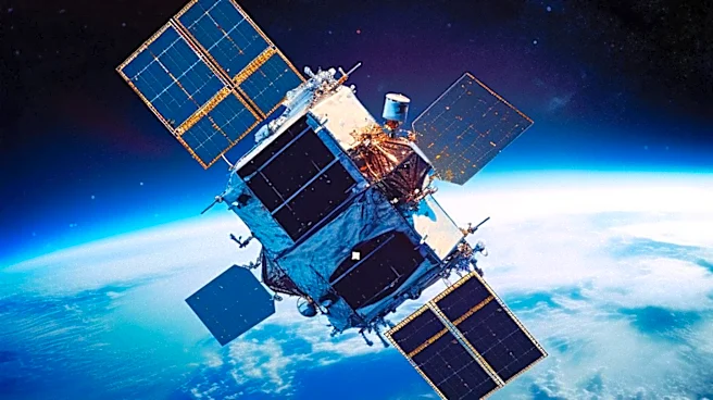
A new constellation of satellites, known as FireSat, is set to launch from Vandenberg Space Force Base, aiming to improve wildfire detection and response times. Developed by the Earth Fire Alliance with funding from the Bezos Earth Fund, Google, and the Gordon
and Betty Moore Foundation, the project will deploy 50 satellites equipped with advanced thermal sensors. These satellites will provide high-resolution imagery of fires every 20 minutes, allowing fire officials to better understand fire behavior and emissions. The data will be shared with agencies like Cal Fire and international partners to enhance firefighting strategies and air quality assessments.
Why It's Important?
The deployment of FireSat satellites represents a significant advancement in wildfire management, offering real-time data that can improve response times and decision-making. By providing detailed information on fire intensity and emissions, the satellites can help authorities allocate resources more effectively and mitigate the impact of wildfires on communities and the environment. This technology is particularly crucial for regions like California, where wildfires pose a persistent threat. The ability to detect and monitor fires with greater accuracy can lead to more efficient firefighting efforts and potentially save lives and property.
What's Next?
As the first phase of the FireSat constellation launches, the focus will be on integrating the satellite data into existing firefighting operations. Agencies like Cal Fire will begin receiving data later this year, which will be used to refine strategies and improve emergency response. The success of this initiative could pave the way for further technological innovations in wildfire management, potentially influencing global practices. Continued collaboration between government agencies, private companies, and international partners will be essential to maximize the benefits of this new technology and address the growing challenges posed by climate change.