






What's Happening?
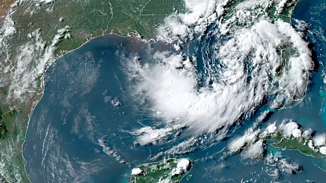
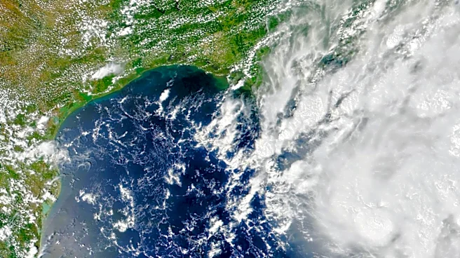
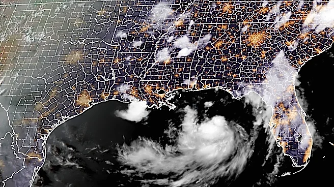
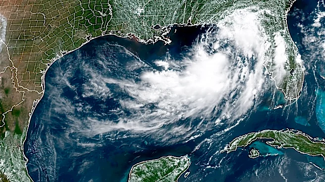
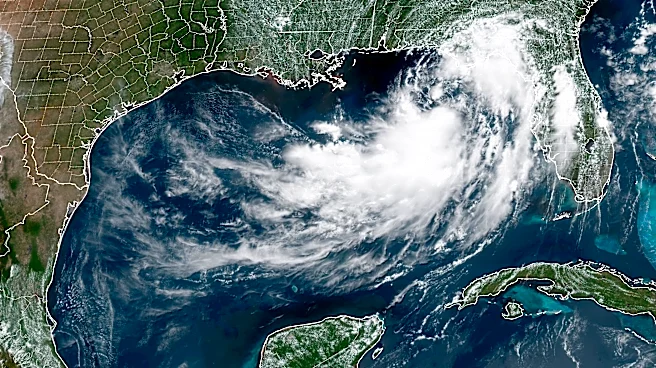
Tropical Depression Two has formed in the Gulf of Mexico, marking the second tropical depression of the 2026 Atlantic hurricane season. The National Hurricane Center (NHC) reports that the system is currently producing sustained winds of 30 mph and is expected
to strengthen into a tropical storm as it approaches the northern Gulf Coast. The depression is moving slowly due to high-pressure areas over the western Atlantic and south-central United States, which is causing a sluggish north-northwest motion. Forecasters anticipate gradual strengthening despite challenges such as wind shear and dry air. The NHC has issued a Tropical Storm Watch for parts of the Florida Panhandle, with potential impacts including tropical-storm-force winds, heavy rainfall, and flash flooding.
Why It's Important?
The development of Tropical Depression Two is significant as it poses a threat to several Southern states along the Gulf Coast. The potential for heavy rainfall and flash flooding could impact communities, infrastructure, and local economies. The issuance of a Tropical Storm Watch indicates that hazardous weather conditions are possible, prompting residents to prepare for potential evacuations and disruptions. The storm's progression is being closely monitored, as its path and intensity could affect emergency response efforts and resource allocation in the region. The situation underscores the importance of preparedness and timely communication from authorities to mitigate risks associated with tropical storms.
What's Next?
Residents in the affected areas are advised to review their hurricane preparedness plans and stay informed through updates from the National Hurricane Center and local emergency management agencies. The NHC forecasts that the depression could become a tropical storm, potentially named Bertha, as it moves near the northern Gulf Coast. Additional watches and warnings may be issued as the system develops, and residents should be ready to take action if advised by local officials. The situation remains dynamic, with forecasters monitoring the storm's intensity and path closely.