




What's Happening?
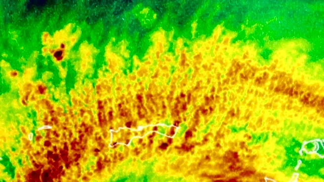
In West Palm Beach, Florida, a strong ridge of high pressure is dominating the weather forecast, leading to high temperatures and heat advisories. On Wednesday, moisture levels are expected to increase, resulting in a higher chance of scattered afternoon
showers and thunderstorms, particularly as sea breezes collide across the interior. Temperatures are forecasted to reach the low to mid-90s, with heat index values climbing to 105-110 degrees before storms develop. Thursday is anticipated to bring the greatest rain chances of the week as the ridge shifts westward, allowing for more widespread shower and thunderstorm activity.
Why It's Important?
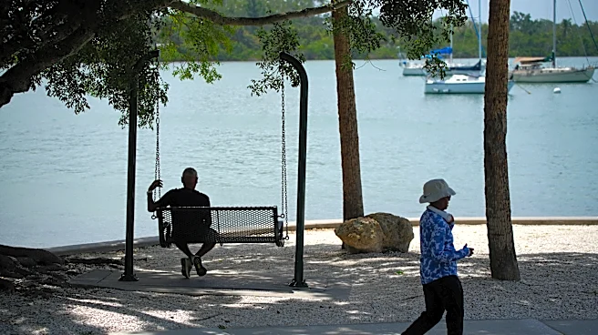
The forecasted increase in storm activity and high temperatures poses potential risks to public safety, particularly for those spending time outdoors. Heat advisories highlight the importance of taking precautions such as staying hydrated and avoiding prolonged exposure to the sun. The anticipated weather changes could impact local activities, travel plans, and outdoor events. Residents and visitors are advised to stay informed about weather alerts and prepare for possible disruptions.
What's Next?
Following Thursday's increased rain chances, high pressure is expected to strengthen again, leading to warmer and drier conditions heading into the weekend. Weather forecasts will continue to be updated, providing guidance on expected conditions and necessary precautions. Local authorities and weather services will monitor developments and issue alerts as needed to ensure public safety.