



What's Happening?
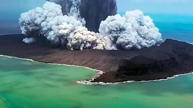
The Alaid volcano, located on Atlasov Island in Russia's Kuril Islands, experienced an eruption between September and November 2022. This event involved a lava flow down its flank and the emission of smoke and ash, which was observed from space. Alaid is recognized
as the tallest peak in the Kuril Islands, reaching 7,497 feet (2,285 meters) above sea level, and is the summit of a larger underwater volcano. The volcano has a history of significant activity, with at least nine eruptions in the past 50 years, including a major outburst in April 1981 that produced a 1,250-mile-long plume of smoke and ash. Satellite imagery and astronaut observations have frequently captured its activity, underscoring its status as a highly active geological feature in the region. The area around the volcano also shows signs of past eruptions, such as vegetation-devoid zones from a 1972 event, with recovery expected to take centuries.
Why It's Important?
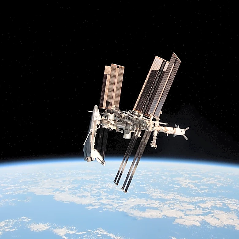
The ongoing volcanic activity in the Kuril Islands, particularly from Alaid, is important for several reasons. Geographically, these eruptions contribute to the dynamic landscape of the region, which is part of a fault line between Russia and Japan. The plumes of smoke and ash, especially those reaching significant altitudes and distances, can impact air travel and local air quality, posing potential hazards to aviation and nearby communities. From a scientific perspective, monitoring these eruptions provides valuable data for volcanologists studying volcanic processes, magma dynamics, and the long-term geological evolution of island arcs. The observation of these events from space also highlights the role of satellite technology in tracking natural phenomena and assessing their scale and impact, which is crucial for disaster preparedness and environmental monitoring globally.
What's Next?
Continued monitoring of Alaid and other active volcanoes in the Kamchatka Peninsula and Kuril Islands by organizations like the Kamchatkan Volcanic Eruption Response Team (KVERT) is expected. These efforts will focus on tracking any new thermal anomalies, ash plumes, or seismic activity that could indicate further eruptions. The Aviation Color Code for active volcanoes in the region will remain a critical indicator for air traffic, guiding decisions on flight paths to ensure safety. Scientists will likely continue to analyze satellite data and ground observations to better understand the patterns and potential future behavior of these highly active volcanoes, contributing to improved forecasting and hazard assessments for the region.
Beyond the Headlines
The persistent volcanic activity in the Kuril Islands, exemplified by Alaid, underscores the broader geological instability of the Pacific Ring of Fire. This region is characterized by frequent earthquakes and volcanic eruptions due to the movement of tectonic plates. The long-term environmental impact of these eruptions, such as the slow recovery of vegetation after the 1972 event, illustrates the profound and lasting changes volcanic activity can inflict on ecosystems. Furthermore, the ability to observe these phenomena from space highlights humanity's increasing reliance on advanced technology for understanding and responding to natural hazards, offering a global perspective on localized geological events and their potential far-reaching consequences.