






What's Happening?
The United States is identified as a country with major volcanic and seismic regions due to its location along the Pacific Ring of Fire. Specifically, Alaska's Aleutian Islands and the Cascade Mountains in the western U.S. are highlighted as areas of significant
geological activity. The Aleutian Islands alone contain 27 of the 65 historically active volcanoes in the United States, running parallel to the Aleutian Trench where the Pacific Plate subducts beneath the North American Plate. In the western U.S., Mount St. Helens in Washington state, known for its nine-hour eruption in 1980 that covered surrounding areas with volcanic ash, is a prominent active volcano. Furthermore, the San Andreas Fault, one of the most active faults within the Ring of Fire, contributed to the devastating 1906 San Francisco earthquake. This geological setting means the U.S. is continuously exposed to the risks of earthquakes and volcanic eruptions.
Why It's Important?
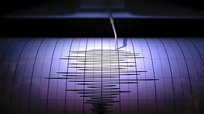
The geological activity along the Pacific Ring of Fire has profound implications for the United States, particularly for its western states and Alaska. The presence of numerous active volcanoes and major fault lines, such as the San Andreas Fault and the Cascadia Subduction Zone, poses continuous threats of earthquakes, volcanic eruptions, and associated hazards like tsunamis and landslides. This necessitates robust infrastructure, stringent building codes, and comprehensive emergency preparedness plans to mitigate potential damage and loss of life. Economically, these regions are vital, with major cities and industries located within earthquake and volcanic zones. A significant event could lead to massive economic disruption, impacting national supply chains, insurance markets, and recovery efforts. The ongoing seismic and volcanic activity also drives scientific research and technological advancements in monitoring and prediction, contributing to global understanding of plate tectonics and hazard mitigation strategies.
What's Next?
Given the continuous geological activity, the United States will likely continue to invest in advanced seismic and volcanic monitoring systems, particularly in high-risk areas like the Aleutian Islands, the Cascade Range, and along the San Andreas Fault. Ongoing research into earthquake prediction and volcanic eruption forecasting will remain a priority to enhance early warning capabilities. Public awareness campaigns and emergency drills will also be crucial to ensure communities in affected regions are prepared for potential events. Furthermore, urban planning and infrastructure development in these areas will need to increasingly incorporate resilience measures, such as earthquake-resistant building designs and improved evacuation routes. The federal government, state agencies, and local communities will need to collaborate to update and implement disaster response protocols to effectively manage the consequences of future seismic or volcanic events.
Beyond the Headlines
The persistent geological activity in the U.S. along the Pacific Ring of Fire extends beyond immediate disaster preparedness, influencing long-term societal and environmental considerations. The fertile volcanic soils, for instance, support unique ecosystems and agricultural practices, while geothermal energy potential in volcanic regions offers opportunities for renewable energy development. However, these benefits are intertwined with inherent risks, shaping cultural narratives and community resilience in affected areas. The constant threat of natural disasters also raises ethical questions regarding urban expansion into high-risk zones and the equitable distribution of resources for preparedness and recovery. Moreover, the scientific study of these phenomena contributes significantly to global knowledge of Earth's dynamic processes, impacting fields from geology and seismology to climate science, and fostering international collaboration in disaster risk reduction.