





What's Happening?
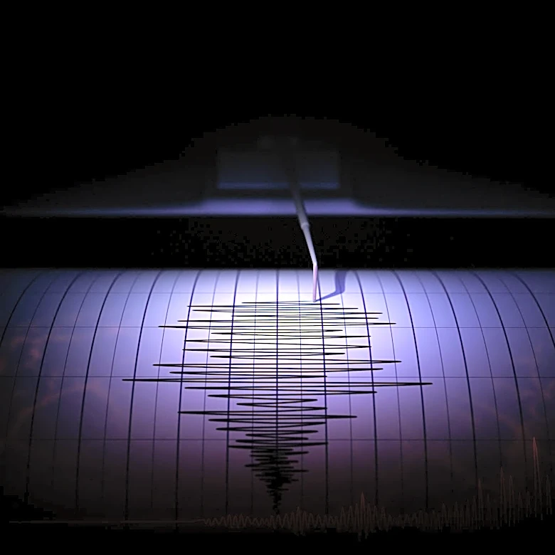
An early-morning earthquake with a magnitude of 3.7 struck near South Lake Tahoe, California, on October 2. The United States Geological Survey (USGS) reported the earthquake, which occurred around 3 a.m. local time. The epicenter was located at Stanford
Camp on the west side of Fallen Leaf Lake, approximately 10 miles from South Lake Tahoe and 7 kilometers deep. The seismological lab at the University of Nevada, Reno, reported a slightly different magnitude of 3.60. Many residents in the area took to social media to report being jolted awake by the tremors. While the earthquake was widely felt, there were no immediate reports of damage. Lake Tahoe is situated in a seismically active region with three main faults: the Incline Village Fault, the Stateline Fault, and the West Tahoe Fault, the latter being the largest and capable of generating earthquakes up to magnitude 7.3.
Why It's Important?
This earthquake serves as a reminder of the significant seismic activity in the Lake Tahoe basin, a popular recreational and residential area. The presence of major faults, particularly the West Tahoe Fault, which can produce powerful earthquakes, underscores the ongoing geological risk to the region's infrastructure and population. Even moderate earthquakes like this one can cause concern and highlight the need for preparedness among residents and visitors. Understanding the location and depth of these events helps seismologists monitor fault lines and assess potential future risks. For local authorities, such occurrences reinforce the importance of emergency response planning and public education on earthquake safety. The event also contributes to the long-term data collection necessary for improving seismic hazard assessments and building codes in a region prone to geological shifts.
What's Next?
While no immediate damage was reported from the 3.7 magnitude earthquake, authorities will continue to monitor for any delayed impacts or aftershocks. Residents are encouraged to remain vigilant and review their earthquake preparedness plans. The USGS and local seismological labs will analyze the data from this event to better understand the behavior of the faults in the Lake Tahoe area. This information is crucial for updating seismic hazard maps and informing future development and infrastructure projects. Public awareness campaigns about earthquake safety, including securing household items and knowing what to do during a tremor, are likely to be emphasized. The event will also contribute to ongoing scientific research into the complex fault systems of the Sierra Nevada region, helping to refine models for earthquake prediction and risk assessment.
Beyond the Headlines
The Lake Tahoe earthquake, though relatively minor, highlights the broader challenge of managing natural hazards in areas with significant human presence and economic activity. The region's reliance on tourism and its growing residential population mean that even small seismic events can have ripple effects on public perception, property values, and emergency services. The existence of faults capable of generating much larger earthquakes, such as the West Tahoe Fault, raises long-term questions about urban planning, building resilience, and the sustainability of development in high-risk zones. This event also underscores the critical role of scientific monitoring and data sharing in mitigating the impact of natural disasters. The continuous study of these geological phenomena is essential not only for immediate safety but also for developing strategies that allow communities to coexist with and adapt to the dynamic forces of the Earth.