





What's Happening?
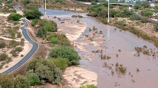
The city of Las Cruces, New Mexico, is under a flash flood threat this week, with the National Weather Service (NWS) El Paso station forecasting significant rainfall. Approximately 2 to 3 inches of rain are predicted to fall, raising concerns about potential
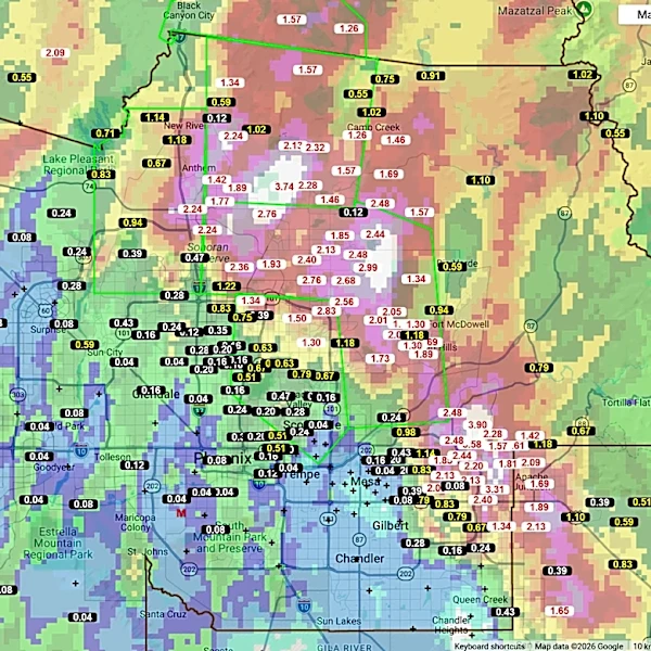
flash flooding. Areas including Deming, Silver City, the Sacramento Mountains, Ruidoso, and Cloudcroft are also in the storm's path. Local law enforcement and emergency personnel are preparing for the inclement weather. While no road closures have been reported in Las Cruces itself, other southern New Mexico regions have already experienced road closures due to overnight rain. The NWS has issued a flood watch for northern and southern Doña Ana County, the Mesilla Valley, and the Sacramento Mountains, which includes Las Cruces and Sunland Park. This flood watch is expected to expire 'late tonight.' Abundant moisture has moved into the region, and scattered to numerous showers and thunderstorms are anticipated to redevelop and continue into the overnight hours. Many areas west of the Rio Grande have already received between half an inch and 2 inches of rainfall in recent days, making any additional precipitation a potential trigger for flash flooding. Localized storm amounts of 1 to 2 inches are possible with the strongest storms and where storms redevelop over the same area.
Why It's Important?
The impending flash flood threat in Las Cruces and surrounding southern New Mexico areas carries significant implications for public safety, infrastructure, and local economies. Flash floods can rapidly turn roadways into dangerous torrents, posing a direct risk to motorists and pedestrians. The potential for road closures, as already seen in other parts of southern New Mexico, can disrupt transportation, commerce, and emergency services. For residents, the risk of property damage from floodwaters is substantial, potentially leading to costly repairs and displacement. Businesses in affected areas could face operational disruptions, inventory damage, and loss of revenue. The strain on local emergency services, including law enforcement and rescue teams, will be considerable as they prepare to respond to potential emergencies. Furthermore, the agricultural sector in the Mesilla Valley, a significant economic contributor, could experience crop damage or delays in operations due to saturated fields. The NWS's warning highlights the need for residents to remain vigilant and adhere to safety guidelines, emphasizing the critical importance of avoiding floodwaters and evacuating if advised. The cumulative effect of heavy rainfall on already saturated ground increases the risk of more severe and widespread flooding, underscoring the vulnerability of the region to extreme weather events.
What's Next?
Residents in Las Cruces and the broader southern New Mexico region are advised to monitor local weather updates closely, as the Las Cruces Sun-News will be providing continuous information on road closures, weather patterns, and response efforts. The flood watch issued by the National Weather Service El Paso station is set to expire 'late tonight,' but the potential for scattered to numerous showers and thunderstorms will continue into the overnight hours. Local law enforcement and emergency personnel will remain on high alert, prepared to respond to any flash flooding incidents. Motorists are urged to exercise extreme caution, especially when traveling through areas prone to flooding, and to check nmroads.com for current road conditions. The NWS also emphasizes the importance of practicing electrical safety during a flood, avoiding floodwaters, and getting to higher ground if in a flood-prone area. Evacuation orders, if issued, should be followed immediately. The community will likely see increased public awareness campaigns regarding flood preparedness and safety measures in the coming days.