









What's Happening?
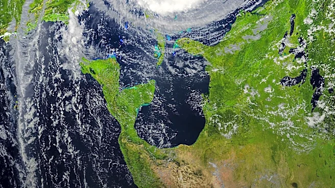
Severe thunderstorms are expected to impact large areas of the United States this weekend, with significant risks of flash floods, according to a report by AccuWeather. The forecast indicates that regions from eastern Colorado and southeastern Wyoming
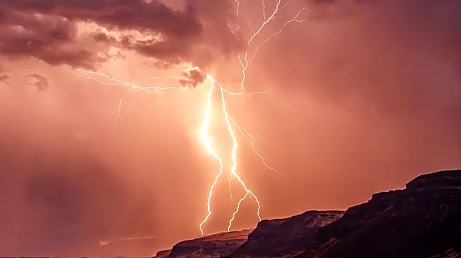
through northeastern New Mexico, as well as parts of Kansas, western Kentucky, and Tennessee, will be particularly vulnerable to flash floods on Friday afternoon and into the night. These areas are likely to experience severe thunderstorms accompanied by localized wind gusts of 60 to 70 mph, with a potential risk of tornadoes. Additionally, parts of North Carolina, southeastern Pennsylvania, and New Jersey are also expected to face similar weather conditions, with wind gusts reaching 55 to 65 mph. The National Weather Service has issued flood watches and warnings for several states in anticipation of the severe weather. The forecast also warns of a new heat dome expected to build across the U.S. following the storms, with temperatures potentially reaching up to 115 degrees Fahrenheit in the Midwest and East.
Why It's Important?
The forecasted severe weather poses significant risks to densely populated areas, where infrastructure can exacerbate flooding by reducing the ground's ability to absorb rainwater. Flash floods, which occur when rain falls faster than the ground can absorb, are particularly dangerous as they can develop rapidly, leaving little time for public safety measures. The potential for overwhelmed storm drains and debris blockages increases the risk of flooding in urban areas, potentially leading to property damage and endangering lives. The subsequent heat dome could further strain resources, as high temperatures may lead to increased energy demand and health risks, particularly for vulnerable populations. The combination of severe weather and extreme heat underscores the need for preparedness and effective emergency response strategies.
What's Next?
As the severe weather progresses over the weekend, northeastern Georgia and much of Virginia are expected to experience thunderstorms on Saturday, with potential flash floods and wind speeds up to 60 mph. By Sunday, the threat is forecast to move further south, affecting areas from northern Louisiana through Mississippi and Alabama, and east into Georgia and the Carolinas. Repeated heavy downpours could significantly increase flash-flood risks, necessitating continued vigilance and preparedness from local authorities and residents. The anticipated heat dome following the storms will require additional attention to public health and safety, particularly in managing heat-related illnesses and ensuring adequate energy supply.