




What's Happening?
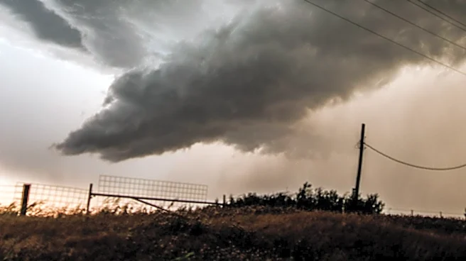
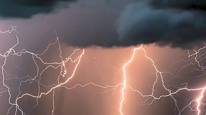
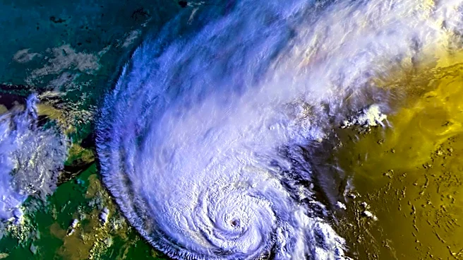
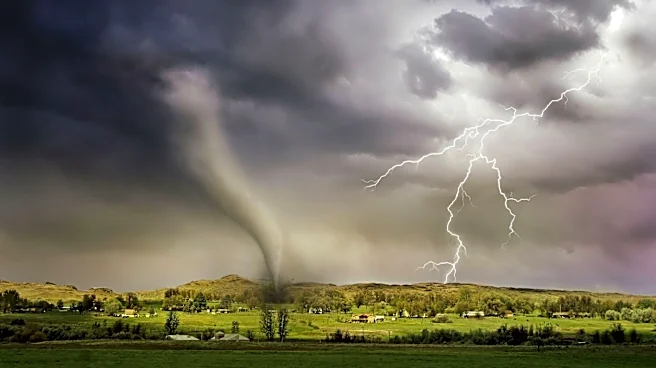
Meteorologists warn that strong to severe storms are expected to hit northern and eastern New Mexico, bringing damaging winds, hail, heavy rain, and potential flash floods. The areas most at risk include Taos, Red River, Angel Fire, Las Vegas, and Raton.
The storms are anticipated to develop as temperatures rise into the 90s, with the possibility of localized flooding in areas with saturated ground. While storm activity is expected to decrease by evening, similar weather patterns are forecasted for the following day, with scattered thunderstorms likely to develop over high terrain.
Why It's Important?
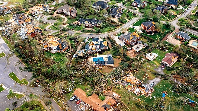
The forecasted storms pose significant risks to communities in northern New Mexico, potentially impacting infrastructure, agriculture, and daily life. Severe weather can lead to property damage, disrupt transportation, and pose safety hazards to residents. The threat of flash floods is particularly concerning for areas recently affected by heavy rainfall, necessitating preparedness and caution. Local authorities and emergency services may need to implement measures to mitigate the impact and ensure public safety, highlighting the importance of effective weather monitoring and response strategies.
What's Next?
Residents in affected areas are advised to stay informed about weather updates and take precautions to protect themselves and their property. Emergency services may be on alert to respond to incidents and provide assistance. The continuation of stormy weather could lead to further advisories and potential evacuations if conditions worsen. Long-term, the region may need to assess infrastructure resilience and disaster preparedness to better handle severe weather events.