
What's Happening?
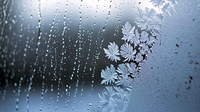
Washington D.C. is experiencing a significant drop in temperatures as an arctic front moves through the area. According to meteorologists from the Capital Weather Gang, the region is currently under clear
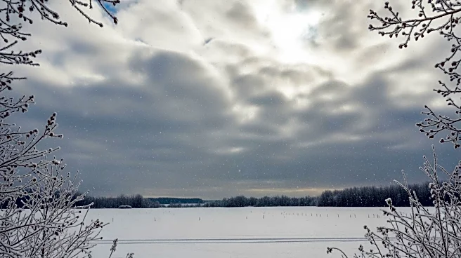
skies but with deceptively cold conditions. Morning temperatures started near 20 degrees Fahrenheit and are expected to rise to around 40 degrees in the afternoon. However, gusty winds are making it feel much colder, with wind chills hovering around freezing. Tonight, temperatures are expected to plummet further, with lows in the teens and wind chills dropping into the single digits. The cold snap is expected to continue into Tuesday, with highs only reaching 25 to 30 degrees, making it one of the coldest days of the winter so far.
Why It's Important?
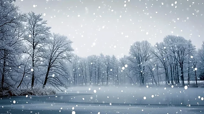
The arrival of this arctic front is significant as it impacts daily life and activities in the Washington D.C. area. Such cold temperatures can lead to increased heating demands, which may strain local utilities and potentially lead to power outages. The cold weather also poses risks to vulnerable populations, including the elderly and those without adequate heating. Additionally, the cold snap could disrupt transportation and outdoor activities, affecting commuters and businesses. The potential for a winter storm over the weekend adds to the concern, as it could bring snow or a wintry mix, further complicating travel and daily routines.
What's Next?
Looking ahead, the weather is expected to moderate slightly midweek, with temperatures rising to the 40s by Thursday. However, another cold front is anticipated to bring colder temperatures by Friday. The weekend forecast remains uncertain, with the possibility of snow or a wintry mix as cold air from the northwest meets moisture from the south. Meteorologists are closely monitoring this potential storm, as its development could significantly impact the region. Residents are advised to stay informed about weather updates and prepare for possible winter weather conditions.