What is the story about?
What's Happening?
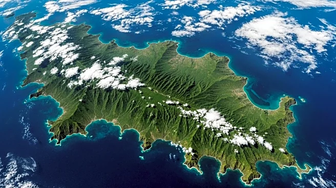
NASA and the Indian Space Research Organisation (ISRO) have collaborated on a satellite mission that has successfully captured its first image of Mount Desert Island. This satellite, known as NISAR, is the first to integrate L-band and S-band radar systems. The L-band radar, with a 10-inch wavelength, can penetrate forest canopies and measure soil moisture and ice surface motion. The S-band radar, provided by ISRO, uses a 4-inch microwave signal to monitor small vegetation, making it effective for agricultural and grassland ecosystem observation. The data for the image was collected during NISAR's commissioning phase, which involves testing the spacecraft's systems and instruments. The mission is set to begin science operations in November, following its launch from India in July 2025.
Why It's Important?
The NISAR mission is significant for global earth observation, providing critical data on changes in the planet's surface, including ice sheets, glaciers, and sea ice. It will also monitor forest and wetland ecosystems and track crustal movements caused by earthquakes, landslides, and volcanic activity. The satellite's ability to offer rapid and comprehensive coverage will enhance disaster response efforts, allowing for timely data collection before and after catastrophic events. This capability is expected to aid in damage assessment and mitigation, offering valuable insights to researchers and policymakers worldwide.
What's Next?
NISAR is scheduled to commence its science operations in November, approximately 90 days after its launch. The satellite will continue to provide data that supports disaster response and environmental monitoring. Researchers and agencies involved in earth sciences and disaster management are likely to utilize this data to improve understanding and response strategies for natural phenomena and environmental changes.
Beyond the Headlines
The collaboration between NASA and ISRO on the NISAR mission highlights the growing importance of international partnerships in space exploration and earth observation. This joint effort not only advances scientific knowledge but also fosters diplomatic relations and shared technological advancements. The mission's focus on environmental monitoring aligns with global efforts to address climate change and natural disaster preparedness.


