




What's Happening?
Western Washington, particularly the Seattle area, is preparing for a significant storm system expected to bring heavy rain and strong winds from Saturday into early Sunday morning. According to FOX 13 Seattle, wind gusts could reach up to 60 mph near
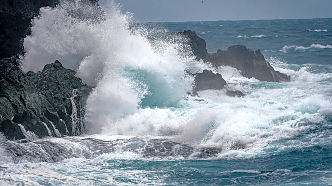
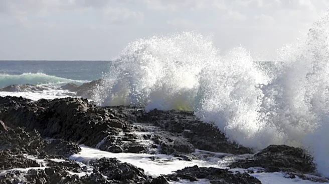
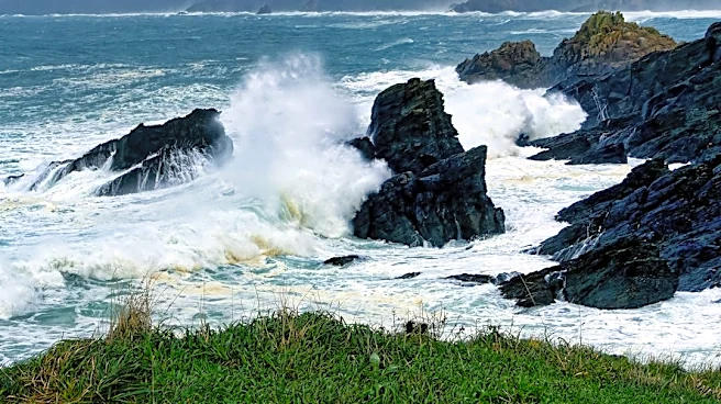
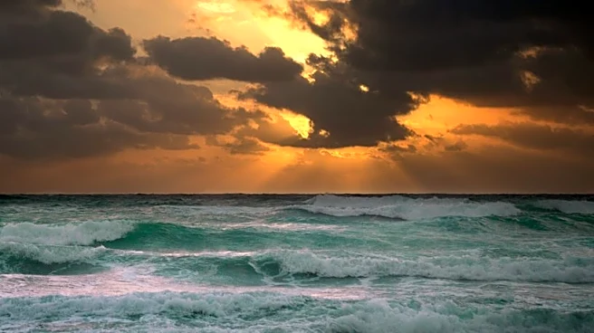
the Strait of Juan de Fuca and 30-40 mph around Puget Sound. The Washington coast is anticipated to receive 1.5 to 2 inches of rain, while the south-facing slopes of the Olympic Mountains could see over 3 inches. The Puget Sound lowlands are forecast to get approximately 0.50 to 1 inch of rain. Coastal flooding and large waves, with seas building to around 20 feet, are also a concern, prompting a High Surf Advisory. The strongest winds in the Puget Sound area are expected between 9 p.m. Saturday and 3 a.m. Sunday. Following the storm, cooler weather is predicted for Sunday night, with snow levels dropping to around 4,000 feet in the Cascades.
Why It's Important?
This incoming storm poses several risks to residents and infrastructure in western Washington. The high wind gusts could lead to power outages, disrupt transportation, and cause damage to property, impacting daily life and local businesses. Heavy rainfall increases the risk of localized flooding, especially in low-lying areas and near rivers, which can damage homes and agricultural land. Coastal communities face the additional threat of coastal flooding and dangerous surf conditions, which can erode shorelines and endanger beachgoers. The potential for accumulating snow in higher elevations of the Cascades could affect travel through mountain passes, impacting supply chains and recreational activities. Emergency services and utility companies will likely be on high alert, and residents are advised to take precautions to ensure safety and minimize potential damage.
What's Next?
The stronger storm system is expected to arrive later Saturday and continue into early Sunday morning. Residents in western Washington should monitor local weather advisories from sources like FOX 13 Seattle and the National Weather Service. Winds are anticipated to gradually ease on Sunday as the front moves through, though scattered showers will persist. Rainfall amounts are expected to lighten by Sunday evening, with snow levels dropping to around 4,000 feet, potentially bringing snow to higher elevations in the Cascades. Drier weather, with only a few showers, is forecast for the following week. Local authorities will likely issue further guidance regarding safety measures, potential road closures, and power outage responses as the storm progresses.
Beyond the Headlines
The recurring pattern of wet and windy weather in the Pacific Northwest highlights the region's vulnerability to seasonal storm systems. While individual storms are common, their intensity and potential for widespread impact underscore the importance of robust infrastructure and effective emergency preparedness. For residents, this means not only immediate safety measures but also long-term considerations for property resilience against wind and water damage. For local governments and utility providers, it emphasizes the ongoing need for investment in weather-resistant infrastructure and efficient disaster response mechanisms. The interplay of heavy rain, strong winds, and potential mountain snow also showcases the diverse meteorological challenges faced by the region, influencing everything from transportation logistics to outdoor recreation and environmental management.