




What's Happening?
The current El Niño event is intensifying and is projected to become a 'very strong' or 'super' El Niño, potentially surpassing all recorded events since 1950. This climate pattern, characterized by warmer-than-average sea surface temperatures in the
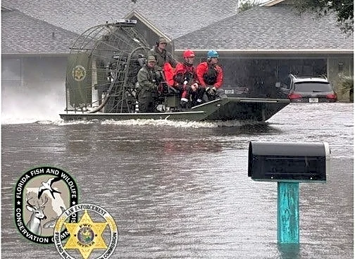
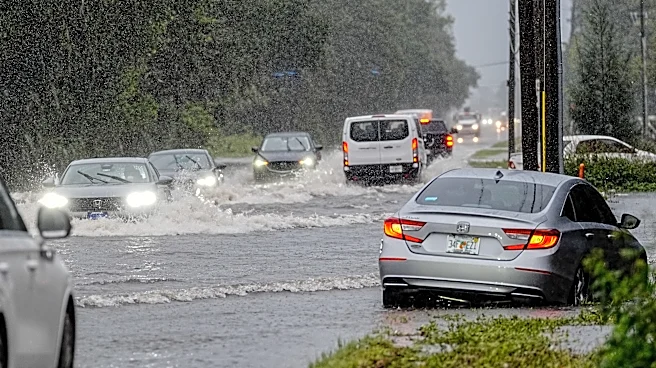
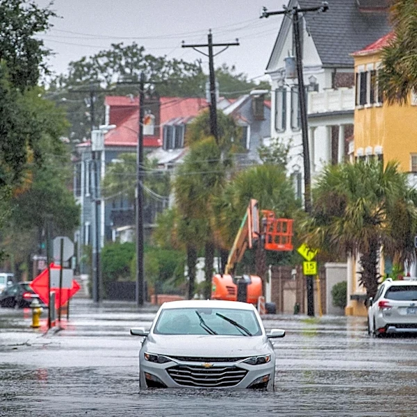
tropical Pacific, significantly influences global weather. According to Emily Powell, Florida State Climatologist at Florida State University, this El Niño is expected to reach its peak strength within the next month or so. The National Oceanic and Atmospheric Administration (NOAA) indicates an over 83% chance of it becoming a 'strong-to-very-strong' El Niño. Its effects are already being observed, with Brevard County, Florida, experiencing a 'once-in-1,000-year flood' that resulted in two deaths and significant damage to homes. This event saw over 20 inches of rain in less than 24 hours in some areas. The strengthening El Niño is anticipated to shift the Pacific jet stream southward, leading to increased rainfall and potential severe weather across the southern United States.
Why It's Important?
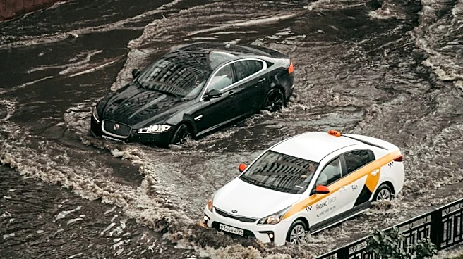
The strengthening El Niño carries significant implications for various regions across the United States, particularly concerning weather patterns and associated risks. For the southern U.S., including Florida, the shift in the jet stream is expected to bring a wetter winter, increasing the likelihood of heavy rainfall events and flash flooding. This poses a direct threat to infrastructure, public safety, and local economies, as seen in Brevard County. Beyond immediate flooding, the altered weather patterns could lead to an increased risk of severe weather outbreaks, including tornadoes, especially in areas like the Capital Area (Metro Baton Rouge) during the fall and winter months. While El Niño typically brings cooler and wetter conditions to some southern regions, it can also lead to warmer-than-average temperatures in the Northern Plains, Pacific Northwest, and parts of southeastern Alaska. These shifts can impact agriculture, energy consumption, and disaster preparedness efforts nationwide, requiring communities to adapt to potentially extreme and unpredictable weather conditions.
What's Next?
As the 'super' El Niño continues to strengthen and is expected to peak in the coming months, U.S. regions, particularly the South, should prepare for increased rainfall and potential severe weather. Meteorologists, such as Megan Borowski of the Florida Public Radio Emergency Network, warn of more cold fronts and stronger storms capable of producing heavy rain rates and flooding. Coastal communities, especially those that have recently experienced significant erosion, like parts of New Jersey, need to be vigilant for increased coastal storm activity and potential flooding. Residents are advised to stay 'weather aware' and have evacuation plans ready, particularly if they reside in flood-prone areas. Emergency management agencies will likely continue to monitor the situation closely and issue advisories. The long-term effects of this exceptionally strong El Niño, including its interaction with ongoing climate change, will be a subject of continued scientific study, influencing future climate modeling and disaster preparedness strategies.
Beyond the Headlines
The current 'super' El Niño highlights the complex interplay between natural climate phenomena and their profound societal impacts. The event underscores the vulnerability of urban and coastal infrastructure to extreme weather, prompting questions about long-term urban planning and resilience. The tragic flash flooding in Brevard County serves as a stark reminder of the human cost of such events, emphasizing the critical need for robust early warning systems and community preparedness. Furthermore, the discussion around whether climate change is influencing the intensity or frequency of El Niño events adds a layer of urgency to climate research and policy. While El Niño is a natural cycle, its occurrence on top of a higher baseline climate could amplify its impacts, leading to more severe rainfall and droughts globally. This situation necessitates a deeper examination of how communities can build greater resilience against increasingly extreme weather patterns, considering both immediate responses and long-term adaptation strategies.