


What's Happening?
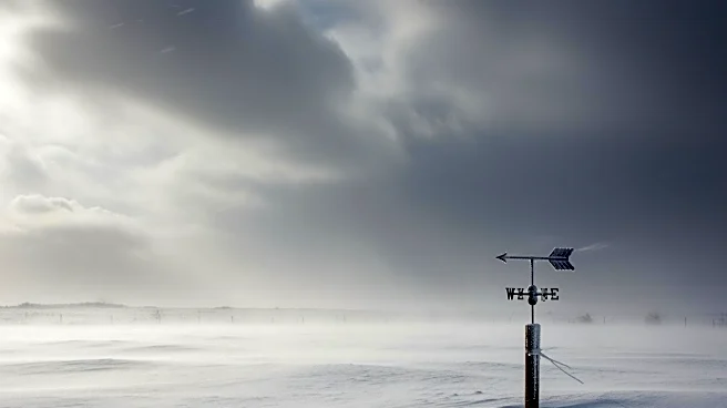
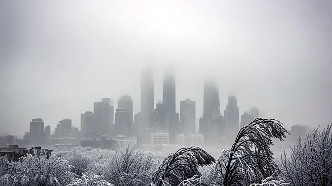
A powerful winter storm is set to impact New York City and the Tri-State area from Sunday night into Monday, bringing blizzard conditions and the potential for significant snowfall. The National Weather Service has issued blizzard warnings for Long Island,
all five boroughs of NYC, and parts of New Jersey and Connecticut. Snowfall rates could reach 2-3 inches per hour, with strong winds creating whiteout conditions. The storm is expected to be the most significant since January 2016, with potential snow totals of 12 to 18 inches in most areas, and up to 24 inches in localized spots.
Why It's Important?
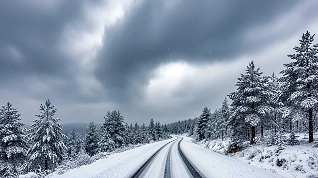
The storm poses a major threat to public safety and infrastructure, with the potential for widespread power outages and dangerous travel conditions. The heavy snowfall and high winds could lead to downed trees and power lines, complicating emergency responses and daily activities. The economic impact could be substantial, with potential losses in business operations and increased costs for emergency services. The storm's timing, coinciding with the start of the workweek, could exacerbate these challenges, affecting schools, businesses, and government operations.
What's Next?
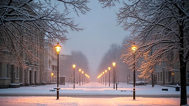
Residents are advised to prepare for the storm by stocking up on essential supplies and staying informed through local news updates. Authorities are likely to implement emergency measures, including road closures and public transportation adjustments, to ensure safety. The storm's progression will be closely monitored, with updates from the National Weather Service and local emergency management agencies guiding public response. Recovery efforts will focus on restoring power and clearing transportation routes once the storm passes.