


What's Happening?
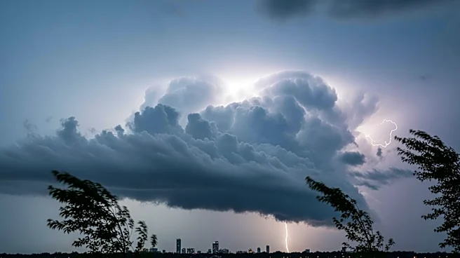
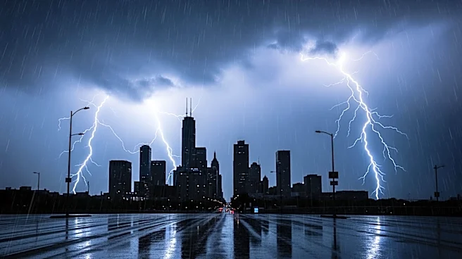
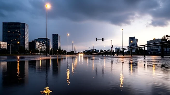
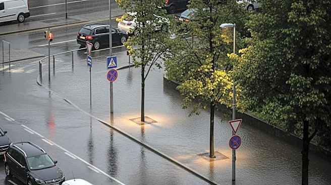
Chicago is expected to experience more rainfall this week, following a series of intense storms that brought record-breaking rainfall, large hail, and tornadoes. The National Weather Service forecasts showers and thunderstorms to hit the city, with the first
round occurring Tuesday afternoon and another expected Thursday night. These weather conditions come as river levels in the area remain high, with many rivers still at flood stage. Meteorologists are monitoring the situation closely, as the upcoming rain could slow or halt the receding water levels, potentially leading to further flooding.
Why It's Important?
The persistent rainfall and high river levels pose a significant risk of flooding in Chicago and surrounding areas. This situation could impact local communities, infrastructure, and transportation, leading to potential disruptions and economic consequences. The ongoing weather challenges highlight the importance of effective flood management and preparedness strategies to mitigate the impact of such events. Additionally, the situation underscores the need for continued monitoring and communication from weather officials to ensure public safety and awareness.
What's Next?
As the weather system progresses, local authorities and residents will need to remain vigilant and prepared for potential flooding. Weather officials will continue to monitor river levels and provide updates on the situation. In the event of rising waters, emergency response plans may be activated to protect affected communities. Residents are advised to stay informed through official channels and take necessary precautions to safeguard their homes and properties.