




What's Happening?
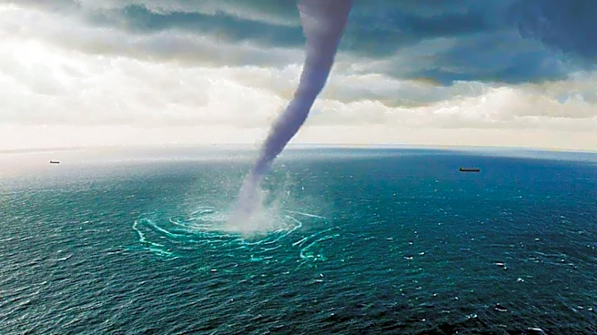
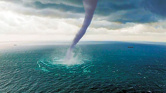
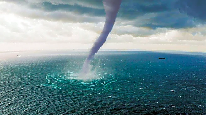
A waterspout was observed forming at Battleship Park in Mobile, Alabama, during a series of strong storms affecting the Gulf Coast. The phenomenon was captured by WKRG weather cameras as a severe thunderstorm moved across Downtown Mobile. Meteorologists
Ed Bloodsworth and Sam Parker from the News 5 First Alert Storm Team reported the event, noting the presence of turbulent clouds over the Mobile River and Battleship Park. The waterspout was seen forming on the east side of the USS Alabama, moving eastward south of the I-10 Bayway and Highway 90/98 Causeway. The storm prompted a severe thunderstorm warning, with wind gusts reaching up to 60 mph.
Why It's Important?
Waterspouts, while visually striking, can pose significant risks to marine and coastal activities. Their formation during severe weather events highlights the need for vigilance and preparedness among residents and authorities in storm-prone areas. The occurrence of such phenomena can disrupt local activities, impact transportation routes, and pose hazards to both property and life. Understanding and predicting these events are crucial for mitigating their potential impacts, especially in regions like the Gulf Coast, which are frequently affected by severe weather.
What's Next?
As the Gulf Coast continues to experience severe weather patterns, local meteorologists and emergency services will likely remain on high alert for further developments. Residents in the area are advised to stay informed through local news and weather updates, and to heed any warnings or advisories issued by authorities. Continued monitoring of weather conditions will be essential to ensure public safety and to minimize disruptions caused by such natural phenomena.