

What's Happening?
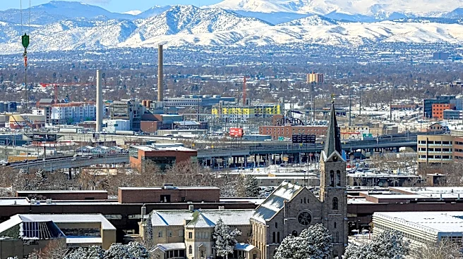
Colorado Springs is experiencing an unseasonably warm and dry fall, with the first snowfall of the year significantly delayed. The average mean date for the first snowfall, October 27, has passed without snow. The week is projected to be mostly sunny
and breezy, with temperatures in the 50s and low 60s, and minimal precipitation expected. State and regional weather experts, including Cameron Simcoe from the National Weather Service in Pueblo and Peter Goble, assistant state climatologist, indicate that while some storm systems are approaching, they are unlikely to bring snow to the Colorado Springs area. The meteorological fall season, which began on September 1, has been the second warmest on record for the Pikes Peak region, despite a brief cold snap in mid-October that brought the first hard freeze. Precipitation levels from September 1 to November 15 have been lower than average, totaling 1.7 inches compared to the typical 2.33 inches.
Why It's Important?
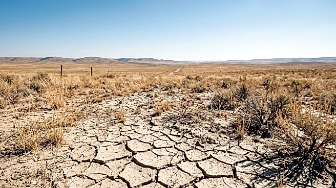
The delayed snowfall and warmer-than-average temperatures in Colorado Springs have significant implications for the region's drought conditions. The majority of El Paso County remains in D2 (severe) or D3 (extreme) drought, according to the U.S. Drought Monitor. While southwestern Colorado has seen relief from drought due to recent storms, Colorado Springs has not benefited from this increased moisture. The lack of precipitation exacerbates water scarcity concerns for residents, agriculture, and natural ecosystems in the area. Prolonged dry conditions can increase the risk of wildfires, impact local water supplies, and affect winter sports industries if the trend continues. The disparity in precipitation across different parts of Colorado highlights the localized nature of climate impacts and the challenges in managing water resources across the state.
What's Next?
Weather experts are cautiously optimistic about the possibility of increased moisture in the Colorado Springs area in the coming weeks. Cameron Simcoe and Peter Goble anticipate more active weather patterns, though the specific details and the likelihood of snow remain uncertain. The majority of any expected precipitation is projected to fall west of the Continental Divide, meaning Colorado Springs might still experience drier conditions compared to other parts of the state. Residents and local authorities will continue to monitor weather forecasts closely, especially as the region approaches Thanksgiving week, which is historically a more challenging period to predict. The ongoing drought conditions will likely prompt continued water conservation efforts and preparedness for potential wildfire risks.
Beyond the Headlines
The persistent warm and dry conditions in Colorado Springs reflect broader climate trends impacting the Western United States. The variability in snowfall dates, ranging from early September to late December historically, underscores the increasing unpredictability of seasonal weather patterns. This shift can have long-term ecological consequences, affecting snowpack-dependent water sources, local flora and fauna, and the overall hydrological cycle. The contrast between the drought relief in southwestern Colorado and the continued dryness in Colorado Springs illustrates the complex and often uneven regional impacts of climate change. Understanding these localized effects is crucial for developing targeted climate adaptation strategies and ensuring the resilience of communities and natural resources in the face of a changing climate.