


What's Happening?
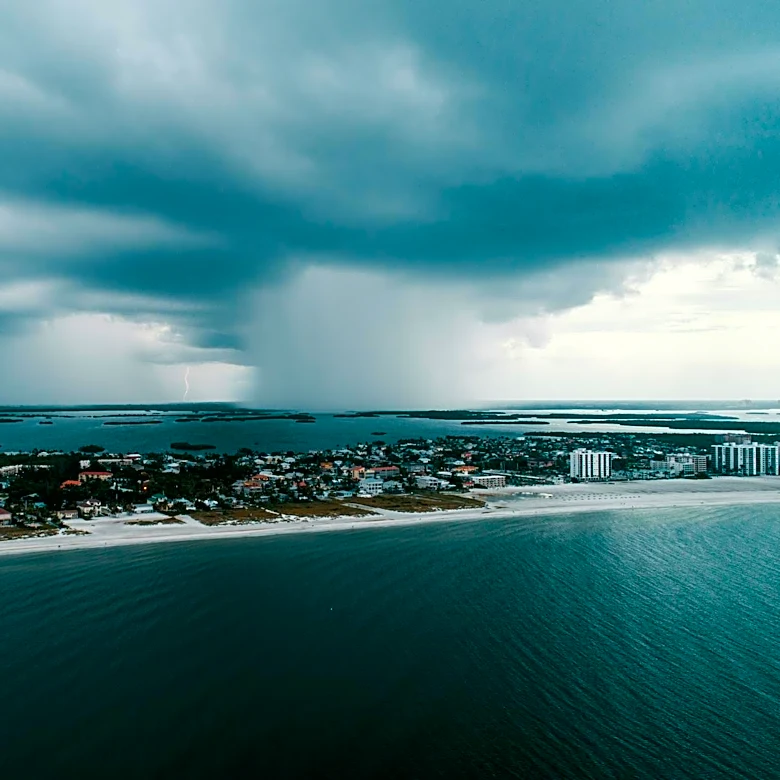
A final round of severe storms is expected to impact parts of the Gulf and Southeast Coasts, bringing a renewed threat of flash flooding along the Interstate 10 corridor. Over the weekend, the region experienced significant rainfall, with areas in Louisiana,
Mississippi, Alabama, and Georgia receiving 3 to 6 inches of rain. The NOAA's Storm Prediction Center has issued a Level 1 risk for severe thunderstorms, with damaging winds and large hail as primary hazards.
Why It's Important?
The continuation of severe weather poses significant risks to communities across the Gulf Coast and Southeast, particularly in areas already saturated from previous storms. The potential for flash flooding threatens infrastructure, homes, and businesses, necessitating preparedness and response efforts from local authorities and residents. Additionally, the heavy rainfall offers some relief to drought-stricken areas, highlighting the dual nature of such weather events as both a threat and a benefit.
What's Next?
As the weather system progresses, it is expected to move into Florida by Tuesday, with a reduced intensity. This shift will likely ease the immediate threat of severe weather but will continue to provide much-needed rainfall to alleviate drought conditions. Monitoring and response efforts will remain critical to manage any residual impacts from the storms.