


What's Happening?
Kansas City is bracing for a First Alert Weather Impact Day on Tuesday, with strong to severe thunderstorms anticipated to move across the area during the evening and overnight hours. While storms could begin as early as 6 p.m., the most significant severe weather
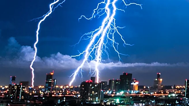
risk is projected between 9 p.m. and midnight, potentially continuing past midnight into early Wednesday. Damaging winds are identified as the primary threat, followed by hail. There is also a lower risk of a brief tornado. Although the entire region is under a severe weather risk, not all areas are guaranteed to experience rain or thunderstorms. A cluster of storms originating in the Dakotas will track across Nebraska and Iowa before reaching northern Missouri and northern Kansas Tuesday morning, expected to weaken but potentially bring increased cloud cover. Redeveloping thunderstorms in the afternoon and early evening are not expected to be the main concern, especially if lingering clouds limit atmospheric energy. Additional atmospheric ingredients arriving later Tuesday are expected to support stronger storms.
Why It's Important?
The impending severe weather in Kansas City carries significant implications for public safety and local infrastructure. Damaging winds, the primary threat, can lead to widespread power outages, structural damage to homes and businesses, and create hazardous driving conditions. The risk of hail can cause property damage to vehicles and crops, while even a brief tornado, though less likely, poses a severe threat to life and property. The potential for storms to continue past midnight means residents may be caught off guard during sleeping hours, increasing the importance of early warnings and preparedness. Local emergency services and utility companies will likely be on high alert, potentially straining resources. For businesses, disruptions could include temporary closures, supply chain interruptions, and increased insurance claims. The forecast also highlights the ongoing challenge of severe weather events across the U.S., necessitating robust emergency response plans and public awareness campaigns to mitigate potential harm.
What's Next?
Residents in Kansas City are advised to monitor updated forecasts closely, as the timeline for severe weather could change. The most critical period for strong to severe storms is expected between 9 p.m. and midnight on Tuesday, with activity gradually weakening near sunrise on Wednesday. Lighter showers may persist through lunchtime on Wednesday. While the flooding risk remains low, damaging winds are the main concern. Before the storms, some sunshine is expected early Tuesday, followed by increasing clouds and temperatures climbing into the mid-to-upper 80s. Wednesday will see cooler, mostly cloudy conditions with showers primarily before noon and a high near 82 degrees. No significant heat is anticipated for the remainder of the week, with highs generally in the mid-80s and overnight lows in the mid-to-upper 60s. Emergency services will likely remain vigilant throughout the event, and residents should prepare for potential power outages and secure outdoor items.
Beyond the Headlines
This severe weather event in Kansas City underscores broader trends in meteorological forecasting and public preparedness. The emphasis on 'First Alert Weather Impact Day' highlights the increasing sophistication of weather prediction models, allowing for more precise warnings and impact assessments. However, the caveat that 'not everyone will receive rain or thunderstorms' points to the inherent variability and localized nature of severe weather, making public communication challenging. The potential for storms to occur late at night raises questions about the effectiveness of warning systems when much of the population is asleep, emphasizing the need for diverse alert mechanisms beyond traditional sirens. Furthermore, the mention of 'additional ingredients arriving later Tuesday' speaks to the complex atmospheric dynamics that drive severe weather, a field of ongoing scientific research aimed at improving long-range and short-term forecasts to better protect communities.