
What's Happening?
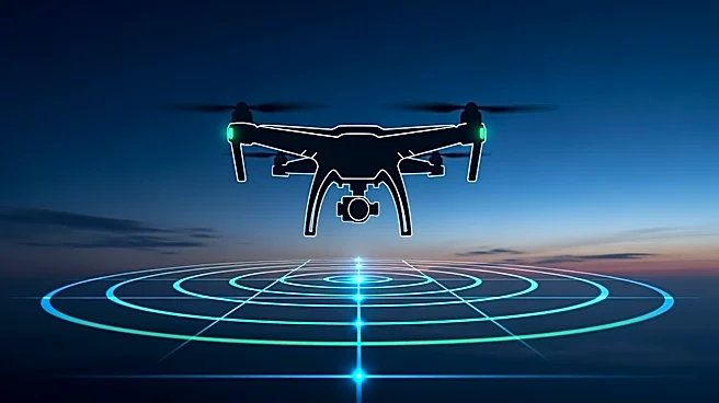
North Dakota has gained access to Federal Aviation Administration (FAA) radar data, enhancing the state's drone operations. This access allows for improved visibility into airspace activity, supporting
emergency response, infrastructure inspection, and agricultural operations. The state's Vantis project, a statewide infrastructure network for drones, is likened to an interstate system for unmanned aircraft systems. This initiative enables beyond-visual-line-of-sight (BVLOS) operations, allowing drones to travel longer distances safely. The project aims to improve service delivery and response times, particularly in rural areas where inspecting infrastructure can be challenging.
Why It's Important?
The integration of FAA radar data into North Dakota's drone operations represents a significant advancement in the use of technology for public service. By enabling BVLOS operations, the state can enhance its emergency response capabilities, improve infrastructure inspections, and support agricultural activities. This development positions North Dakota as a leader in drone technology, potentially serving as a model for other states. The ability to quickly assess and respond to infrastructure damage or deliver medical supplies can have a direct impact on public safety and economic efficiency, particularly in rural areas.
What's Next?
North Dakota plans to continue validating its drone operations with the FAA to ensure compliance with data requirements. The state aims to expand its Vantis program to support other states, fostering partnerships across state agencies and sectors. As the program develops, new applications for BVLOS drone operations are expected to emerge, unlocking further capabilities. The ongoing collaboration between technology, process, and people will be crucial in scaling these operations and exploring new technological frontiers.