


What's Happening?
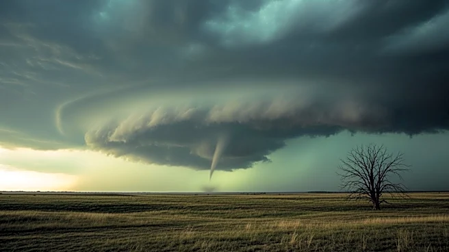
The National Weather Service (NWS) has issued a severe weather warning for parts of the Midwest, highlighting an 'intense' tornado threat. This warning comes as a strong storm system approaches the mid-Mississippi Valley, bringing the potential for powerful
storms capable of producing strong to intense tornadoes. Areas at highest risk include southwestern Illinois and eastern Missouri, particularly around St. Louis. The NWS has emphasized the need for residents to monitor forecasts closely and be prepared to take shelter. As of the latest updates, more than 13,000 people in Illinois are experiencing power outages due to severe thunderstorms. Tornado watches have been issued for numerous counties in Missouri and Illinois, with warnings already active in some areas.
Why It's Important?
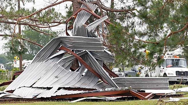
The issuance of an 'intense' tornado threat by the NWS underscores the potential for significant disruption and danger to residents in the affected areas. Tornadoes can cause widespread damage to infrastructure, homes, and can lead to loss of life. The economic impact could be substantial, affecting local businesses and agriculture. Additionally, the power outages already reported highlight the immediate challenges faced by communities in maintaining essential services. The situation demands heightened awareness and preparedness from residents, local authorities, and emergency services to mitigate potential damage and ensure public safety.
What's Next?
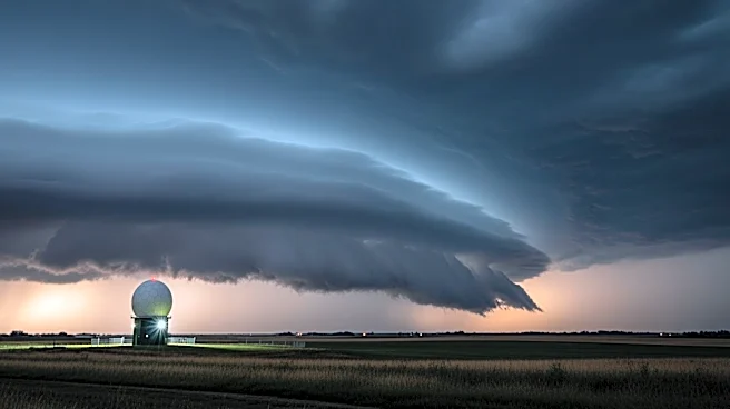
As the storm system progresses, the NWS is expected to issue further alerts and warnings. Residents in the affected areas are advised to stay informed through official channels and have multiple ways to receive emergency notifications. The NWS plans to provide updates via a live broadcast on YouTube, offering real-time information on the evolving weather conditions. Emergency services and local governments will likely be on high alert, ready to respond to any incidents resulting from the severe weather.