


What's Happening?
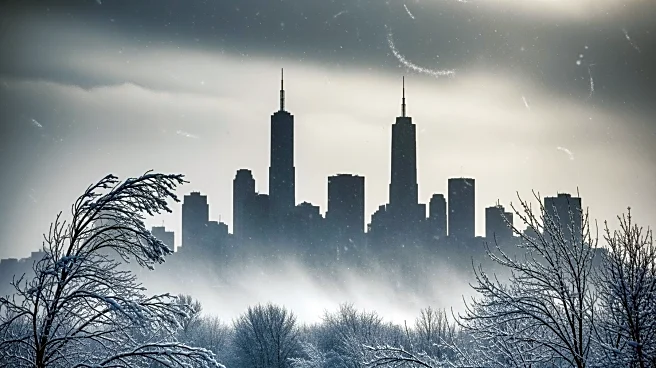
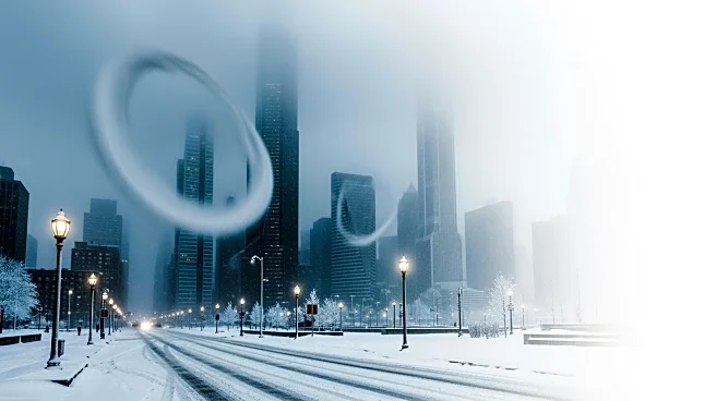
The Washington D.C. area is preparing for an intense cold front expected to bring damaging winds and dangerously low wind chills over the weekend. The National Weather Service has issued high wind and extreme cold warnings, with wind gusts potentially
reaching 50 to 60 mph, which could lead to power outages. The cold front, originating from Siberia, will bring temperatures below zero, with wind chills expected to dip to minus-10 degrees. Snow showers are anticipated to coincide with the Friday afternoon rush hour, potentially creating hazardous travel conditions.
Why It's Important?
The extreme weather conditions pose significant risks to public safety and infrastructure. Power outages could disrupt daily life and business operations, while the severe cold increases the risk of frostbite and hypothermia. The situation highlights the importance of emergency preparedness and the need for robust infrastructure to withstand extreme weather events. It also underscores the challenges faced by urban areas in adapting to increasingly volatile weather patterns, which are exacerbated by climate change.
What's Next?
Residents are advised to secure loose outdoor items, charge electronic devices, and prepare for potential power outages. The National Weather Service recommends dressing in layers and keeping pets indoors to mitigate the risks posed by the extreme cold. As temperatures are expected to remain low into early next week, local authorities may need to implement additional measures to ensure public safety and maintain essential services. The situation may prompt further discussions on improving urban resilience to extreme weather events.