


What's Happening?
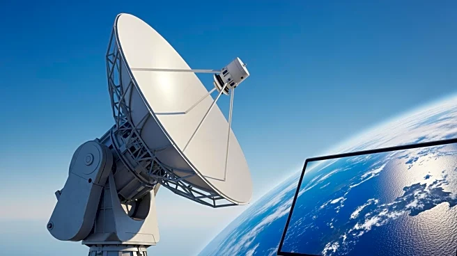
NASA has launched the Satellite-based analysis Tool for Rapid Evaluation of Aquatic environMents (STREAM), which uses satellite imagery to provide detailed water quality data. This tool offers near real-time monitoring capabilities with a resolution of 20-30
meters, allowing users to track indicators such as chlorophyll-a concentration and total suspended solids. STREAM also provides historical data dating back to 2018, enabling the identification of trends and long-term changes in aquatic environments. In February 2025, NASA's Applied Remote Sensing Training program will offer a live online training session to guide participants through STREAM's capabilities.
Why It's Important?
The STREAM tool represents a significant advancement in water quality monitoring, offering a more comprehensive and timely approach compared to traditional field measurements. This capability is crucial for water managers and environmental researchers who need to respond quickly to issues like harmful algal blooms or declining fish populations. By providing detailed and accessible data, STREAM can aid in the development of more effective water management strategies, potentially improving public health and environmental conservation efforts.
What's Next?
NASA's upcoming training sessions will help water resource managers and other stakeholders effectively utilize the STREAM tool. This training is expected to enhance the ability of participants to navigate the tool, discover data, and apply it to real-world scenarios. As more organizations adopt STREAM, it could lead to improved water management practices and policies, fostering better protection of aquatic environments.