


What's Happening?
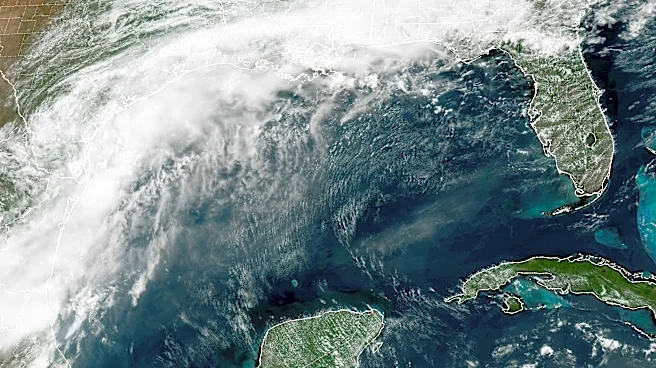
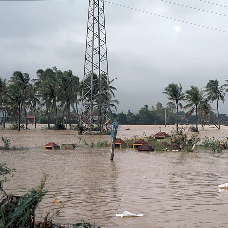
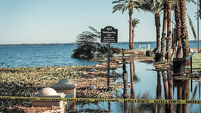
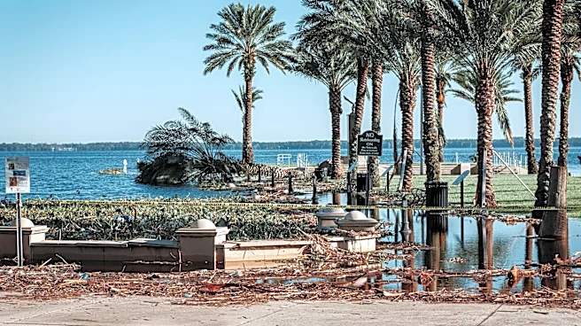
Tropical Storm Arthur, the first named storm of the 2026 Atlantic hurricane season, made landfall along the Texas coast, bringing significant flooding to the Gulf Coast. The storm developed from a broad swath of showers and thunderstorms over Texas, which
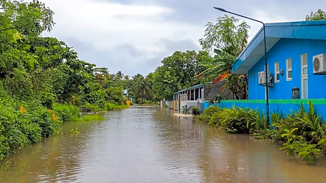
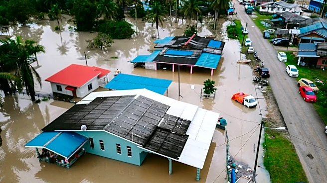
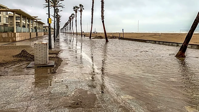
intensified as it moved across the warm Gulf waters. Although it was briefly a tropical storm, it was downgraded to a post-tropical cyclone by the National Hurricane Center. Despite the downgrade, Arthur continues to pose a threat with life-threatening flooding expected in parts of the southeastern U.S., including Texas, Louisiana, Mississippi, Georgia, and the Florida Panhandle. Rainfall totals are expected to reach 5 to 10 inches, with isolated areas potentially receiving up to 20 inches.
Why It's Important?
The impact of Tropical Storm Arthur is significant due to the potential for widespread flooding and property damage across several states. The storm's heavy rainfall and the risk of flash flooding could disrupt daily life, commerce, and travel in the affected regions. The Gulf Coast, already vulnerable to severe weather, faces increased risks of infrastructure damage and economic losses. The storm highlights the ongoing challenges posed by extreme weather events, which are exacerbated by climate change, leading to more intense and frequent storms.
What's Next?
As Arthur moves inland, the focus will shift to managing the aftermath of the storm, including addressing flooding and property damage. Emergency services and local governments in the affected areas are likely to continue monitoring the situation and providing assistance to residents. The National Weather Service has issued flood watches across several states, and residents are advised to remain vigilant and avoid flooded areas. The storm's remnants are expected to continue moving eastward, potentially affecting additional regions with heavy rain and flooding.