


What's Happening?
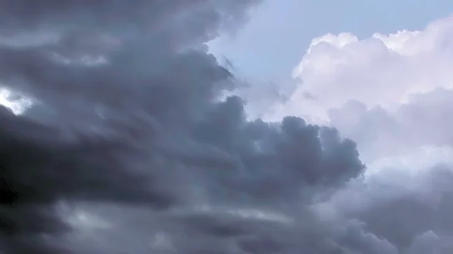
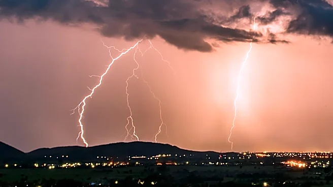
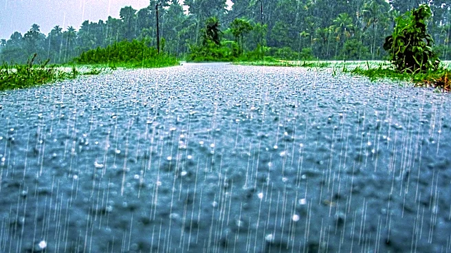
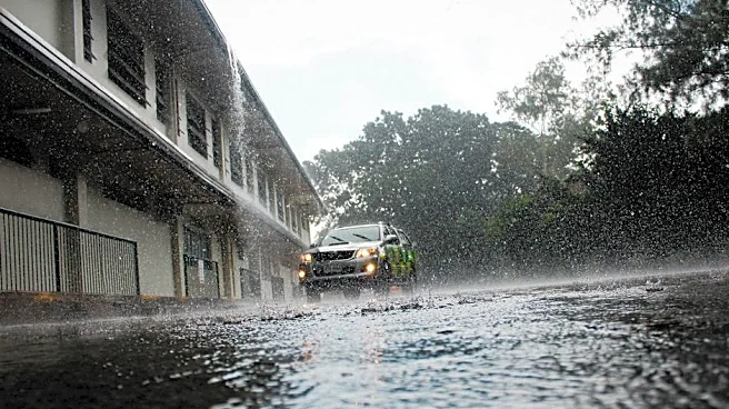
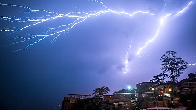
The Michiana region is facing a significant threat of severe weather, with the Storm Prediction Center placing the area under a Level 2 risk for both Sunday and Monday. The forecast predicts waves of rain and thunderstorms, with the potential for damaging
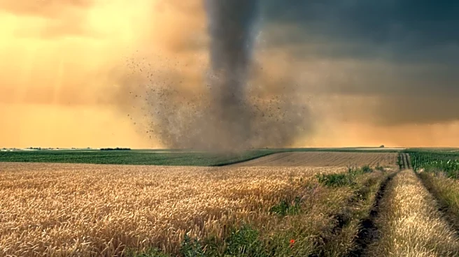
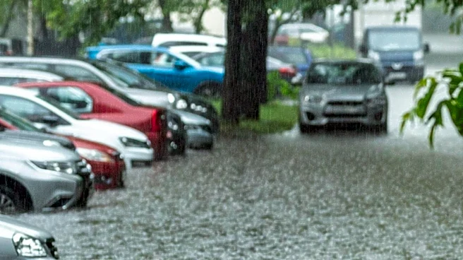
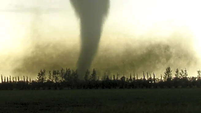
winds and localized flooding. The storms are expected to begin Sunday evening, continuing through the night and into Monday. The high humidity and heat in the atmosphere are contributing to the storm's intensity, with the possibility of isolated tornadoes. The severe weather is expected to persist through the first half of the workweek, with scattered showers and thunderstorms mainly occurring during the day.
Why It's Important?
The severe weather poses a risk to public safety and could lead to property damage due to high winds and flooding. The potential for isolated tornadoes adds to the urgency of the situation, requiring residents to stay informed and prepared. The impact on daily life could be significant, with disruptions to transportation and potential power outages. The economic implications include potential damage to infrastructure and increased emergency response costs. The weather conditions also highlight the importance of effective communication and preparedness in mitigating the effects of severe weather events.
What's Next?
Residents in the Michiana area should remain vigilant and monitor weather updates as the situation develops. Local authorities may issue warnings or advisories, and it is crucial for the public to heed these instructions. Emergency services are likely to be on high alert, ready to respond to any incidents caused by the severe weather. As the week progresses, the risk of severe weather is expected to decrease, with cooler and more comfortable conditions anticipated by the end of the week.