


What's Happening?
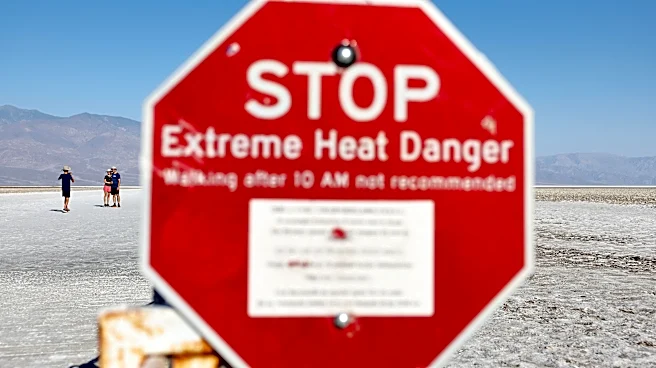
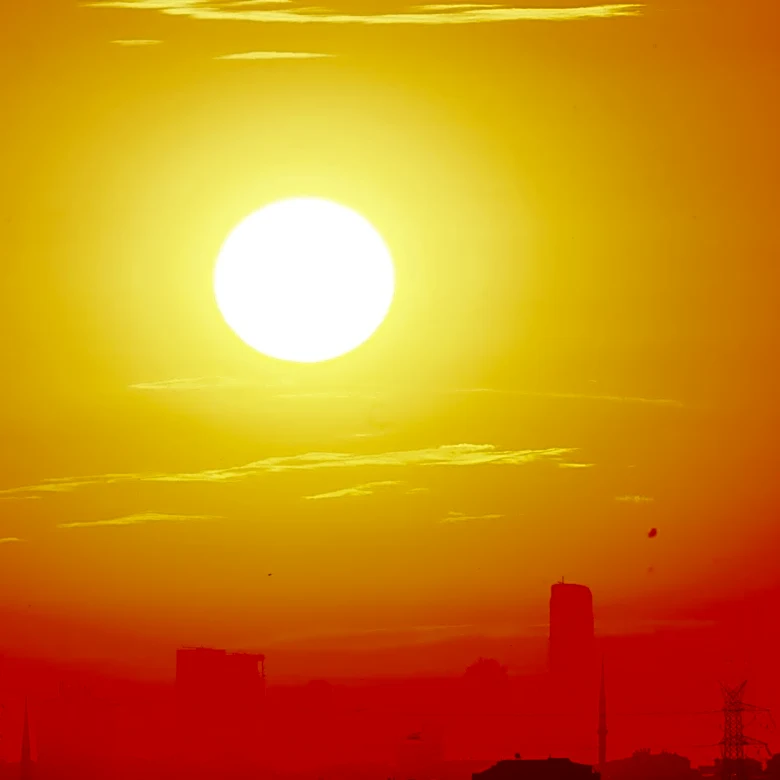
An extreme heat warning is currently in effect, with temperatures reaching a heat index of around 106 degrees. This warning is expected to last through the evening. Additionally, there is a marginal risk of isolated severe thunderstorms from this afternoon
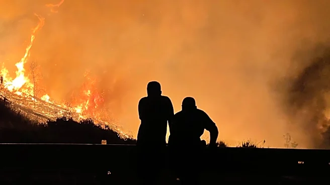
through tonight, continuing into Friday and Saturday. The increased coverage of showers and thunderstorms over the weekend may lead to isolated flooding. A gradual cool down is anticipated to begin on Saturday, with temperatures dropping into the 80s by Sunday.
Why It's Important?
The extreme heat and potential for severe weather pose significant risks to public health and safety. High temperatures can lead to heat-related illnesses, particularly among vulnerable populations such as the elderly and those without access to air conditioning. The risk of thunderstorms and flooding can disrupt daily activities, damage infrastructure, and pose hazards to transportation. These weather conditions highlight the need for preparedness and adaptation strategies to mitigate the impacts of extreme weather events.
What's Next?
As the weekend approaches, residents in affected areas should stay informed about weather updates and take necessary precautions to protect themselves from heat and potential storms. Local authorities may issue additional warnings or advisories as conditions evolve. Community resources, such as cooling centers, may be activated to assist those in need. Monitoring weather forecasts and heeding official guidance will be crucial in minimizing the impact of these weather events.