



What's Happening?
A significant weather shift is expected across the Plains and Midwest as a heat dome retreats, paving the way for a multiday flood threat. Starting Thursday, heavy rain is anticipated, with some areas potentially receiving over 3 inches of rainfall by
the end of the week. This change is driven by a robust disturbance moving along the northern and eastern edges of the heat dome, bringing repeated thunderstorms. The affected areas include eastern South Dakota, Nebraska, Iowa, Minnesota, Kansas, and Missouri. The storms are expected to tap into high moisture levels, leading to potential flash flooding. The shift in weather patterns is expected to provide relief from the extreme heat that has been affecting the region.
Why It's Important?
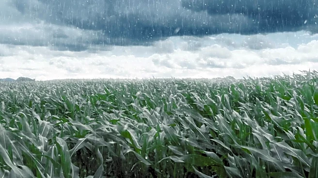
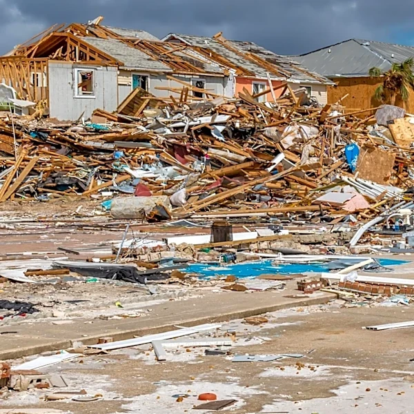
The anticipated heavy rainfall and potential flash flooding pose significant risks to communities across the Midwest and Plains. The shift from extreme heat to heavy rain could lead to infrastructure challenges, particularly in areas with poor drainage systems. The agricultural sector, already stressed by heat, may face additional challenges from flooding, impacting crop yields and local economies. Emergency services and local governments will need to prepare for potential evacuations and damage control. The weather change highlights the increasing volatility of climate patterns, affecting both urban and rural areas.
What's Next?
As the storm system progresses, monitoring and response efforts will be crucial. Local authorities and emergency services are likely to issue warnings and advisories to ensure public safety. The National Weather Service and local meteorological agencies will continue to track the storm's path and intensity, providing updates to the public. Communities in the affected areas should prepare for possible evacuations and property protection measures. The situation underscores the need for improved infrastructure and emergency preparedness in the face of increasingly unpredictable weather patterns.