


What is the story about?
What's Happening?
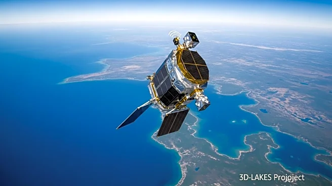
The 3D-LAKES project has developed a comprehensive method for mapping the bathymetry of lakes and reservoirs globally using data from ICESat-2 altimetry and Landsat imagery. This initiative aims to address the scarcity of detailed bathymetric data, which is crucial for environmental assessment and water resource management. The project evaluated the accuracy of its bathymetric maps against in-situ measurements from various U.S. agencies, including the U.S. Bureau of Recreation and the U.S. Army Corps of Engineers. The study found that the 3D-LAKES approach, which uses a combination of empirical equations and machine learning techniques, provides more accurate bathymetric data compared to existing global datasets like GLOBathy and GRDL. The validation process involved comparing the area-elevation (A-E) relationships derived from the 3D-LAKES data with in-situ measurements, showing high accuracy and stability across different lake sizes.
Why It's Important?
The development of accurate global bathymetric maps is significant for several reasons. Firstly, it enhances the ability to manage water resources effectively, which is critical in the face of climate change and increasing water scarcity. Accurate bathymetric data can improve flood risk assessments, inform infrastructure development, and support ecological conservation efforts. Additionally, the use of satellite data allows for the monitoring of remote and inaccessible areas, providing a more comprehensive understanding of global water bodies. This project also highlights the potential of integrating advanced technologies like machine learning with satellite data to overcome traditional data collection challenges, paving the way for more innovative approaches in environmental science.
What's Next?
The 3D-LAKES project plans to address current limitations by incorporating data from the recently launched Surface Water and Ocean Topography Satellite (SWOT), which can measure both the area and surface elevation of smaller lakes. This integration could fill existing data gaps and improve the accuracy of bathymetric maps for smaller water bodies. Future efforts will focus on refining the algorithms and expanding the dataset to include more lakes globally. The project also aims to enhance the precision of contour lines through additional satellite imagery classifications, which could further improve the reliability of the bathymetric data.
Beyond the Headlines
The 3D-LAKES project underscores the growing importance of satellite technology in environmental monitoring and management. By providing detailed and accurate bathymetric data, the project contributes to a better understanding of global water resources, which is essential for sustainable development. The initiative also highlights the potential for international collaboration in addressing global environmental challenges, as the data and methodologies developed can be applied worldwide. Furthermore, the project raises awareness about the need for continuous innovation in data collection and analysis to support informed decision-making in environmental policy and management.