


What's Happening?
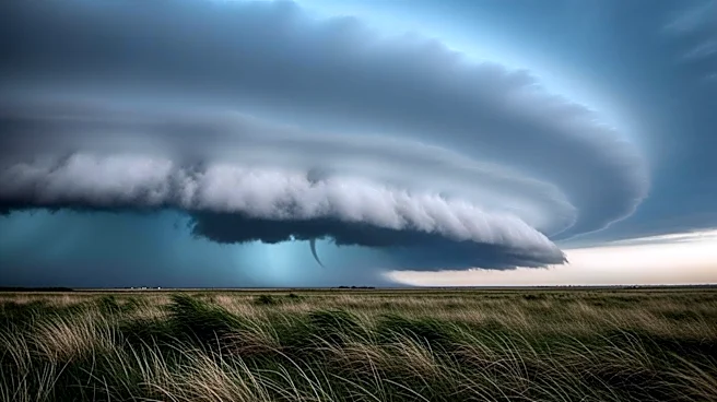
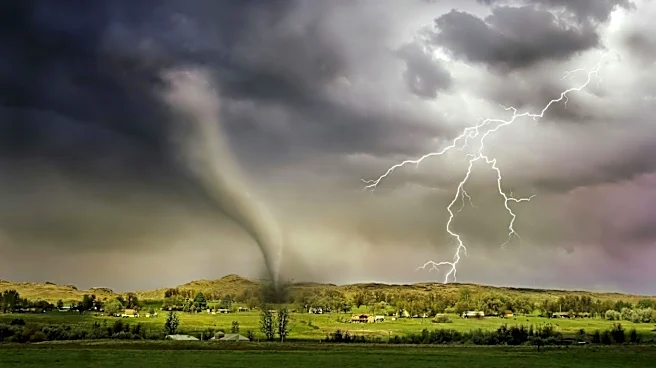
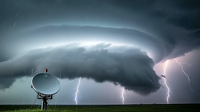
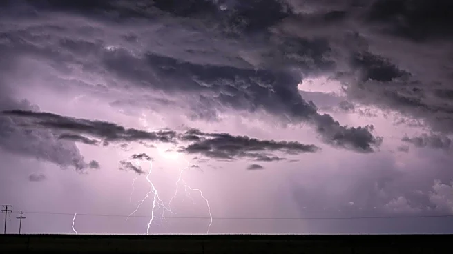
A severe line of storms is currently moving through southern Minnesota, prompting a tornado watch that will remain in effect until 1 a.m. The weather conditions are part of a broader pattern of severe weather affecting the region, with potential for large
hail, strong winds, and tornadoes. This development follows a series of weather alerts issued across the Midwest, where communities are bracing for possible disruptions and damage. The National Weather Service has been closely monitoring the situation, advising residents to stay informed and prepared for rapidly changing weather conditions.
Why It's Important?
The issuance of a tornado watch highlights the ongoing vulnerability of the Midwest to severe weather events, which can have significant impacts on local communities. Tornadoes and severe storms pose risks to life and property, potentially leading to evacuations, power outages, and infrastructure damage. The economic implications are also considerable, as businesses may face disruptions and agricultural activities could be affected. This situation underscores the importance of emergency preparedness and the need for effective communication between weather services and the public to mitigate risks.
What's Next?
Residents in the affected areas are advised to remain vigilant and follow updates from local authorities and weather services. Emergency services are on standby to respond to any incidents, and community shelters may be activated if conditions worsen. The National Weather Service will continue to provide updates as the storm progresses, and further advisories may be issued if the situation escalates. It is crucial for individuals to have a plan in place and to heed any evacuation orders or safety instructions.