



What's Happening?
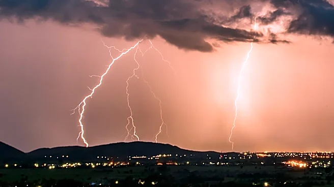
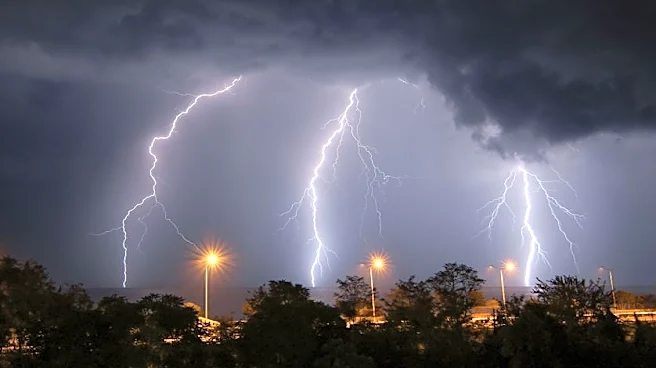
The Weather Prediction Center has issued a Mesoscale Precipitation Discussion for the Upper Midwest into the Ohio Valley, highlighting the potential for heavy rainfall and flash flooding. Showers and thunderstorms are expected to expand along a stationary
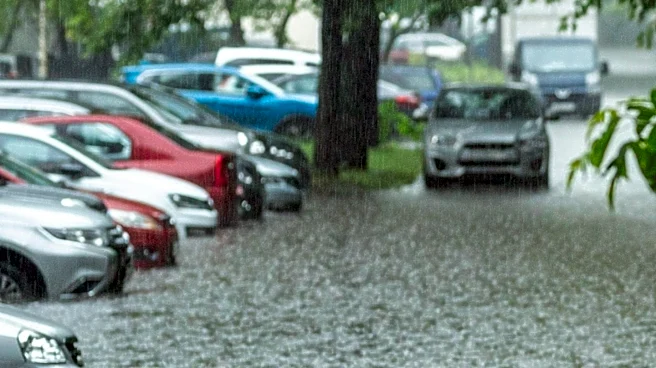
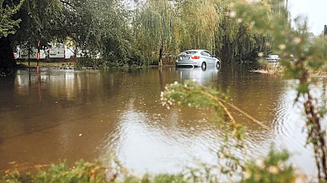
front, with rainfall rates likely reaching 1-2 inches per hour. This could lead to 2-3 inches of rain with locally higher amounts, increasing the risk of flash flooding.
Why It's Important?
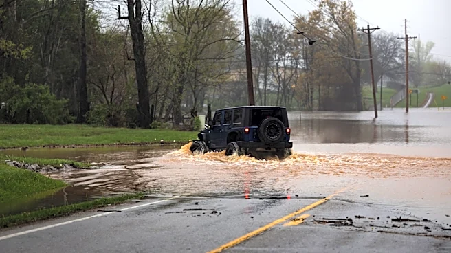
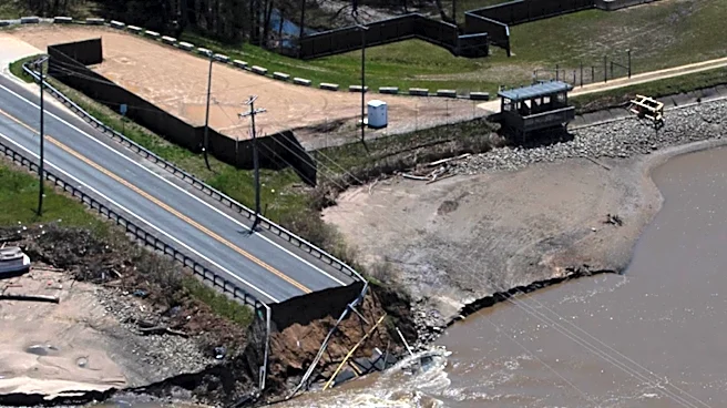
The potential for heavy rainfall and flash flooding poses a significant threat to communities in the Upper Midwest and Ohio Valley. Flash flooding can occur rapidly, endangering lives and causing extensive property damage. The situation is particularly concerning in urban areas and regions with saturated soils, where the risk of flooding is heightened. Emergency services and local authorities may need to respond quickly to protect residents and mitigate damage.
What's Next?
As thunderstorms expand and intensify, the risk of flash flooding will increase, especially in areas with vulnerable flood gauges due to urban influence or recent heavy rainfall. The overlap of forcing and thermodynamics in the region supports widespread heavy rainfall rates, and the situation will be closely monitored by meteorologists. Residents in the affected areas should stay informed and be prepared for potential flooding.