





What's Happening?
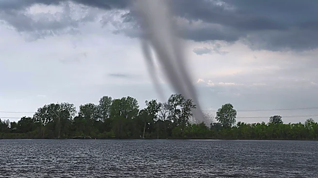
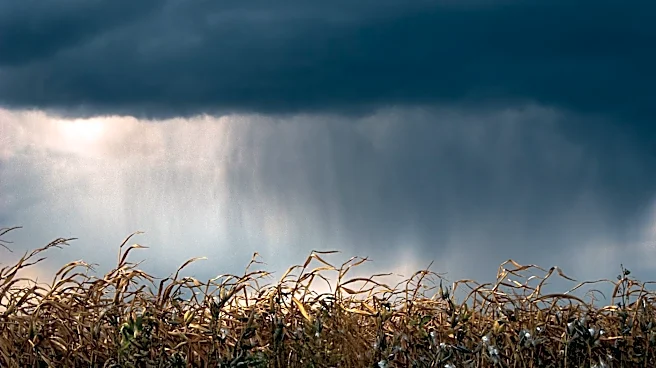
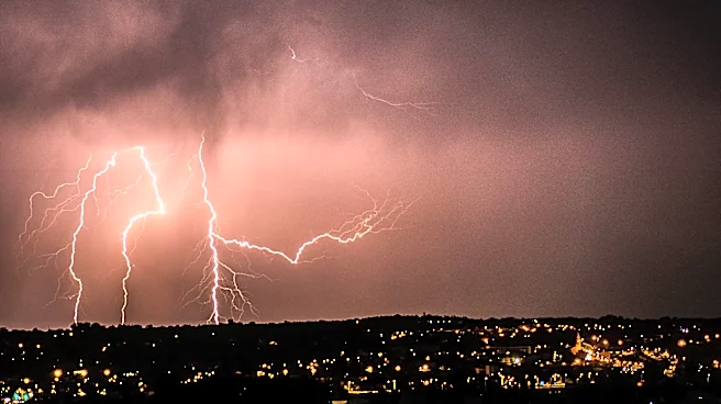
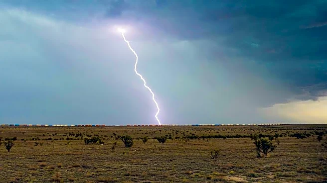
Northeast Ohio is under a weather alert as a weak disturbance is expected to bring showers and thunderstorms to the region, particularly in the southern and eastern areas. The storms, while not severe, could cause minor disruptions with heavy rain and lightning.
The weather pattern is characterized by increased humidity and temperatures reaching the mid to upper 80s, with 'feels like' temperatures in the low to mid 90s. The storms are expected to dissipate overnight, but more showers and thunderstorms are anticipated in the coming days as another disturbance moves through the area.
Why It's Important?
The weather conditions in Northeast Ohio are important for residents and businesses as they could impact daily activities and travel plans. The potential for heavy rain and thunderstorms poses a risk for localized flooding and power outages, which could affect infrastructure and public safety. The increased humidity and high temperatures also raise health concerns, particularly for vulnerable populations. Staying informed and prepared for these weather conditions is essential for minimizing risks and ensuring community resilience.
What's Next?
The weather in Northeast Ohio is expected to remain unsettled, with continued chances of showers and thunderstorms. The region will experience high temperatures and humidity, with a brief reprieve expected after a front passes. Residents should remain vigilant and monitor weather updates, as more rain and potential storms are forecasted for early next week. The ongoing weather pattern highlights the need for preparedness and adaptation to changing weather conditions.