


What's Happening?
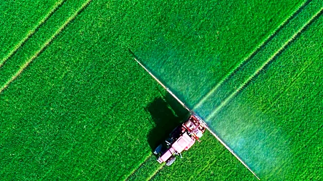
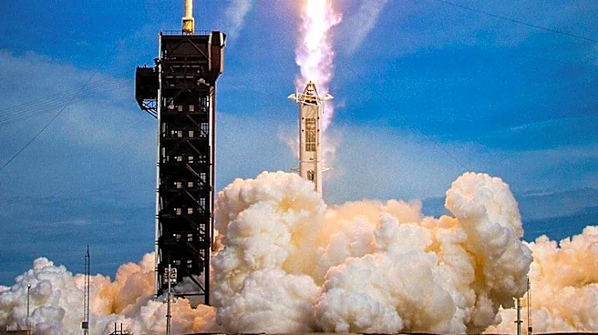
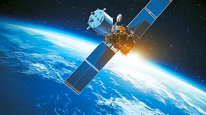
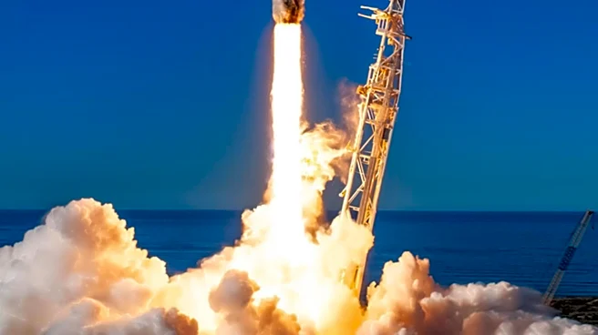
Korea is set to launch its first satellite dedicated to agriculture and forestry, known as the Agriculture-Forestry Satellite, from Vandenberg Space Force Base in the United States. This satellite, developed by the Korea AeroSpace Administration, the Rural
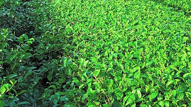
Development Administration, and the Korea Forest Service, will utilize SpaceX's Falcon 9 launch vehicle. The satellite aims to scan farmland and forests across the Korean Peninsula every three days, using imagery with a resolution of 5 meters. It will monitor compliance with public agricultural subsidies, farmland use, and crop supply conditions. The satellite is equipped with five spectral bands to identify crop and forest growth, and it will reshape Korea's agriculture-forestry observation system, which previously relied on foreign satellite imagery.
Why It's Important?
The launch of the Agriculture-Forestry Satellite marks a significant step for Korea in developing an independent system for agricultural monitoring and policy implementation. By using satellite imagery and AI analysis, the government can reduce the burden of field surveys and prevent fraudulent subsidy claims. The satellite will also aid in managing crop supply by tracking cultivation areas and growth status, allowing for better forecasting and adjustment of supply volumes. Additionally, it will enhance disaster response capabilities by providing precise observations of reservoirs, irrigation facilities, and flooded farmland, supporting recovery efforts and damage assessment from wildfires, landslides, and pests.
What's Next?
The Korean government plans to gradually open satellite data to the private sector, fostering the development of a 'Korean-style agricultural AI foundation model.' This initiative will combine satellite imagery with crop information, weather, soil, and environmental data, strengthening connections with systems like agricultural observation and disaster insurance. The satellite's data will be crucial in establishing a data-based decision-making system for core agricultural policy areas, including farmland surveys, direct payment programs, supply and demand management, disaster response, and forestry.
Beyond the Headlines
The Agriculture-Forestry Satellite represents a shift towards more sustainable and efficient agricultural practices in Korea. By reducing reliance on foreign satellite imagery, Korea is taking control of its agricultural data, which could lead to more tailored and effective policy decisions. The integration of AI and satellite data may also drive innovation in agricultural technology, potentially influencing global practices in crop monitoring and disaster management.