


What's Happening?
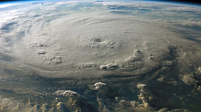
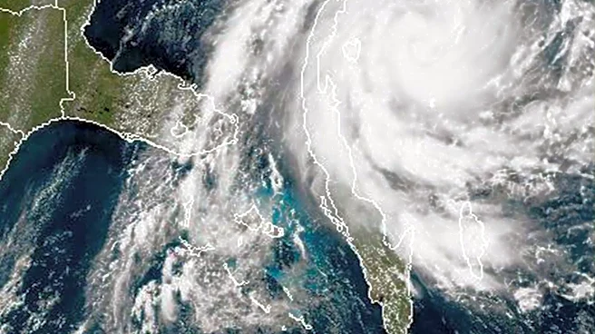
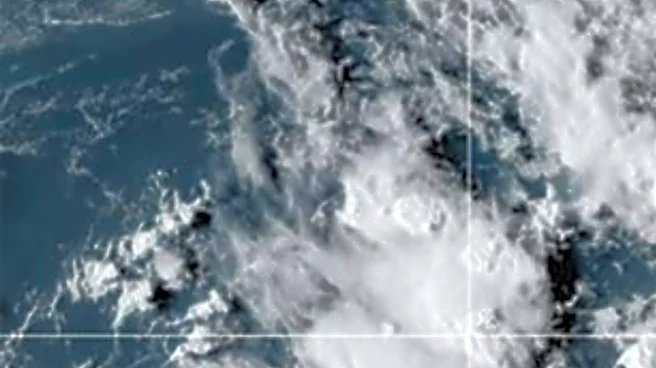
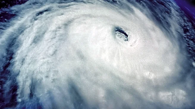
Meteorologists are closely monitoring a potential tropical cyclone developing approximately 1100 miles east-southeast of the Hawaiian Islands. The National Hurricane Center's latest Tropical Weather Outlook suggests that the system could develop further
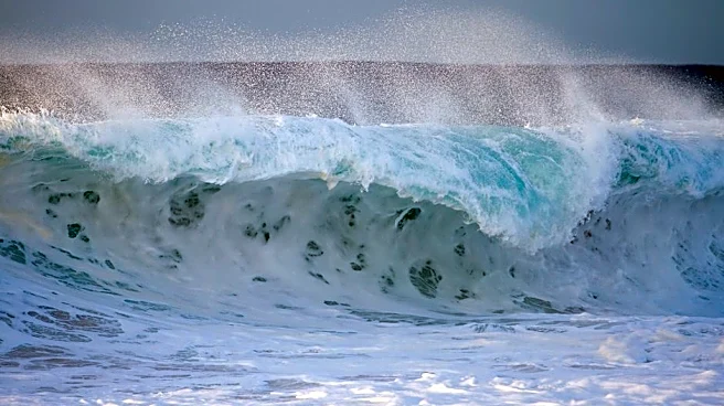
by mid-week, potentially impacting Hawaii's weather significantly. A high-pressure system currently maintains trade wind weather across the state, but this could change dramatically if the cyclone approaches. Additionally, multiple south swells are expected, with the largest swell anticipated on Wednesday. The potential cyclone could also generate a significant east/southeast swell later in the week, posing risks to coastal areas.
Why It's Important?
The development of a tropical cyclone near Hawaii poses significant risks to the islands, including potential damage from high winds, heavy rainfall, and coastal flooding. Such weather events can disrupt daily life, impact tourism, and strain emergency services. The economic implications are considerable, as Hawaii's economy heavily relies on tourism, which could be adversely affected by severe weather. Additionally, the potential cyclone highlights the ongoing challenges of climate-related weather patterns, emphasizing the need for robust disaster preparedness and response strategies to protect residents and infrastructure.
What's Next?
As the potential cyclone develops, residents and authorities in Hawaii will need to stay informed and prepared for possible severe weather conditions. The National Hurricane Center will continue to monitor the system, providing updates and advisories as necessary. Local governments and emergency services may need to activate response plans, including evacuation procedures and resource allocation, to mitigate the impact on communities. Public awareness campaigns and timely communication will be crucial in ensuring safety and minimizing disruption.