




What's Happening?
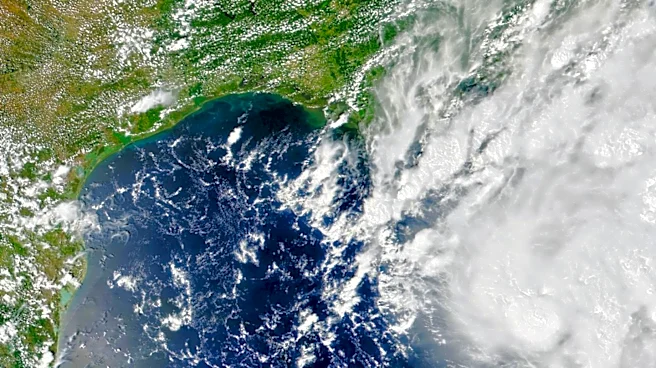
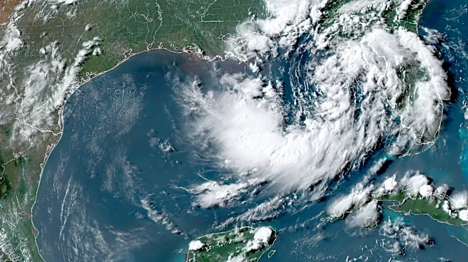
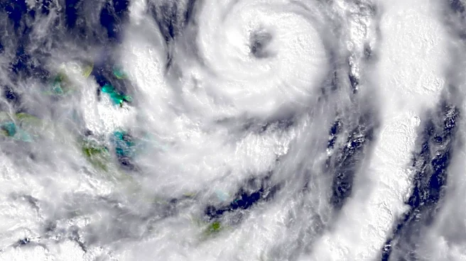
A tropical depression is moving erratically towards the U.S. Gulf Coast, with forecasts indicating it could strengthen into a tropical storm. As of Monday afternoon, the depression was located approximately 105 miles south of Panama City, Florida, with sustained
winds of 35 mph. The U.S. National Hurricane Center predicts the system will intensify, potentially bringing storm surges, heavy rains, and damaging winds to several states along the Gulf Coast. A storm surge watch has been issued from the mouth of the Mississippi River to the Alabama-Florida border, and a tropical storm watch is in effect from the Ochlockonee River in Florida to southeastern Louisiana. The National Weather Service warns of possible life-threatening storm surges and isolated tornadoes in the region.
Why It's Important?
The approaching storm poses significant risks to the Gulf Coast, an area frequently impacted by severe weather. Potential storm surges and heavy rainfall could lead to flooding, affecting communities and infrastructure. The region's economy, particularly industries reliant on coastal operations such as shipping and fishing, could face disruptions. Additionally, the storm's impact on energy production facilities in the Gulf could influence national energy supplies and prices. Emergency services and local governments are likely to prepare for potential evacuations and resource allocation to mitigate the storm's effects.
What's Next?
As the storm approaches, local authorities and emergency services are expected to monitor its path closely and issue further warnings or evacuation orders if necessary. Residents in the affected areas should stay informed through official channels and prepare for possible power outages and flooding. The storm's progression will be closely watched by meteorologists to provide timely updates and forecasts. Coordination between state and federal agencies will be crucial in managing the storm's impact and ensuring public safety.