




What's Happening?
A new storm system is beginning to affect parts of Arizona, bringing scattered rain and high-elevation snow showers to Mohave County on Thursday morning. These showers are expected to move eastward through Thursday and into Friday, eventually exiting
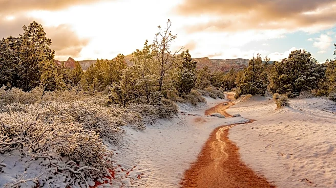
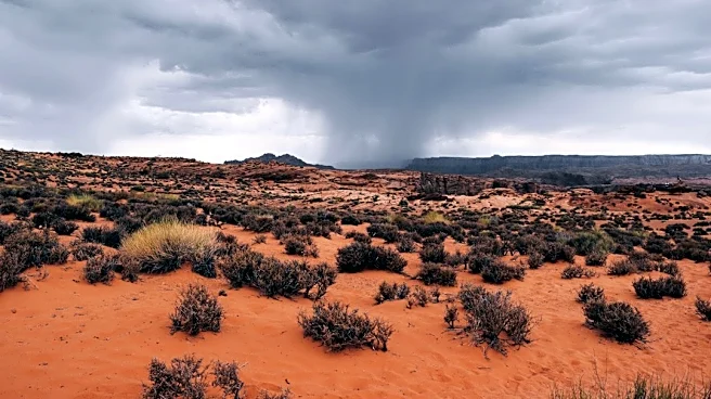
Arizona by early Saturday morning. Rain accumulations will be light, generally between 0.1 and 0.25 inches for northern Arizona, with maximum totals remaining below 0.5 inches. Snowfall will also be minimal, with about 1 to 3 inches forecast for Jacob Lake and around 1 inch for the San Francisco Peaks and White Mountains. Flagstaff may see some snow, but it is expected to melt quickly. Phoenix and the lower deserts will remain dry. A cold front will pass through the state on Friday, causing temperatures to dip and bringing gusty winds, with a wind advisory in effect for Mohave County through Thursday night, where gusts could reach 25 to 35 mph in Flagstaff on Thursday and 30 to 40 mph on Friday. Phoenix may experience a slight breeze by Friday.
Why It's Important?
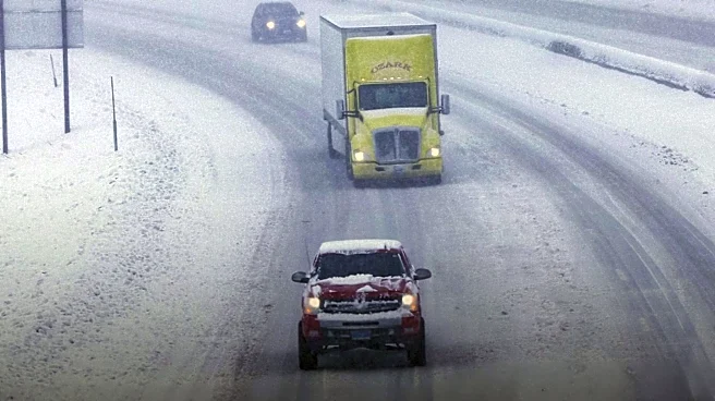
This weather system is important for Arizona as it brings a notable change in conditions, particularly for the northern parts of the state. The snow and gusty winds can impact travel, especially for those heading to higher elevations, necessitating caution on roads. The wind advisory for Mohave County highlights potential hazards for drivers and outdoor activities in that region. While Phoenix and the lower deserts will remain dry, the cooler temperatures and potential for breezy conditions will affect daily routines. The minimal snow totals are beneficial for water resources but do not pose significant challenges for infrastructure. This weather event underscores the diverse climate within Arizona, with different regions experiencing distinct impacts from the same storm system.
What's Next?
Temperatures in Phoenix are forecast to reach the mid-70s on Thursday before dropping to the low 70s on Friday. Overnight temperatures in Phoenix will fall into the 40s by Saturday morning. Looking ahead to next week, temperatures are expected to remain pleasant, with highs in the upper 60s to low 70s over the weekend and continuing into the low 70s next week. The weather will be sunny and dry for the next several days across the lower deserts. For those traveling to northern Arizona, the Arizona Department of Transportation advises preparing for wintry conditions, including carrying warm clothing, emergency supplies, and ensuring vehicles are ready for snow and ice. Drivers are also reminded not to park on highway shoulders to play in the snow, as this can create hazards and interfere with emergency services.
Beyond the Headlines
The recurring pattern of storm systems bringing snow to northern Arizona while the lower deserts remain dry highlights the state's unique geographical and climatic diversity. This dynamic influences recreational activities, with residents often traveling north for snow play, which in turn impacts traffic and public safety. The ADOT's advisories on safe winter travel are crucial for preventing accidents and ensuring smooth traffic flow during these periods. Furthermore, the minimal snow accumulation, while not a major water source for the entire state, contributes to local ecosystems and can affect seasonal tourism. The contrast between the two regions also emphasizes the need for localized weather forecasting and preparedness strategies across Arizona.