




What's Happening?
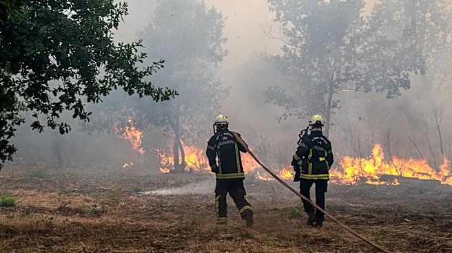
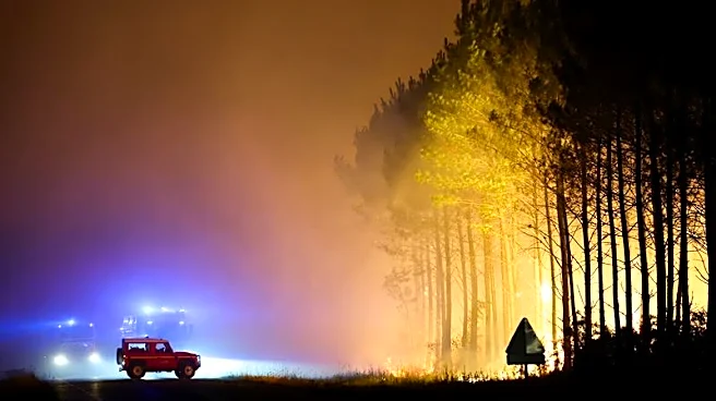
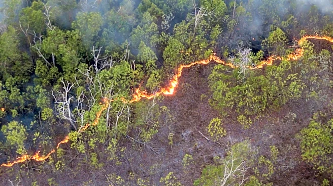
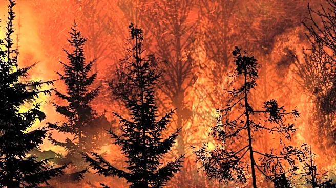
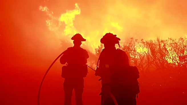
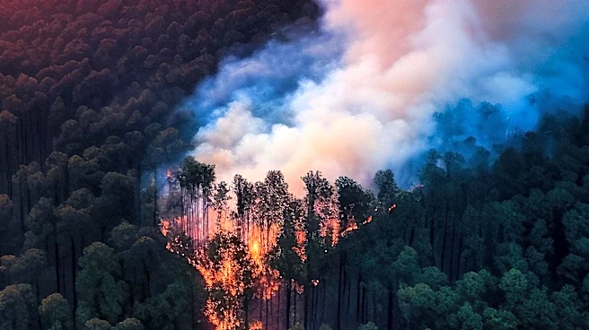
A fast-moving wildfire erupted near Bordeaux in southwestern France on July 22, 2026, fueled by successive heatwaves and increasing drought conditions. The fire rapidly spread overnight, leading to the evacuation of more than 10,000 people and burning
approximately 2,400 hectares. Satellite images from NASA's Moderate Resolution Imaging Spectroradiometer (MODIS) aboard the Terra platform captured the extent of the fire, with false-color imagery highlighting the burned areas. The ongoing heatwaves and drought across Europe have exacerbated the wildfire risk, posing significant challenges to firefighting efforts and public safety.
Why It's Important?
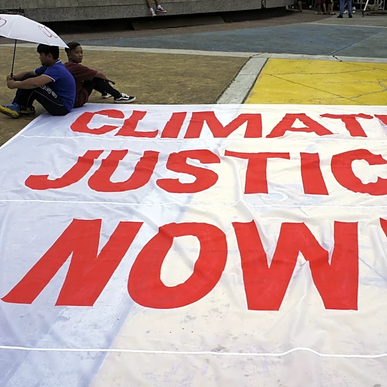
The wildfire in France is a stark reminder of the growing impact of climate change, as extreme weather conditions become more frequent and severe. The evacuation of thousands of residents underscores the immediate threat to human life and property, while the extensive damage to land highlights the environmental and economic costs. This event is part of a broader pattern of increasing wildfire activity across Europe, driven by rising temperatures and prolonged dry spells. The situation calls for urgent action to address climate change and improve disaster preparedness and response strategies to protect vulnerable communities.