




What's Happening?
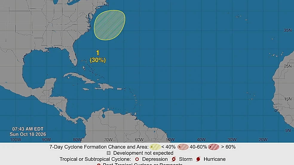
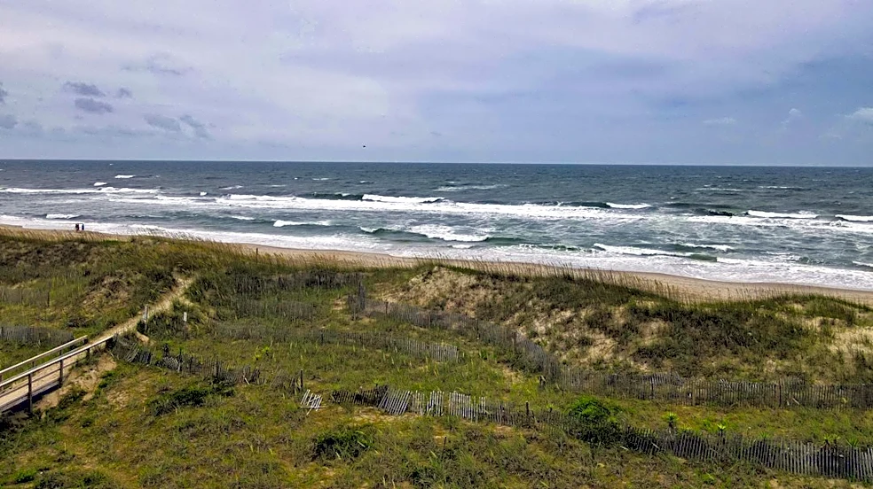
A slow-moving October nor'easter is currently impacting the Mid-Atlantic seaboard, bringing strong winds, large breaking waves, life-threatening rip currents, beach erosion, and coastal flooding from North Carolina to New Jersey. Coastal flood alerts
are in effect from Monday through Tuesday across Virginia, Maryland, New Jersey, North Carolina, and Delaware. The storm is expected to persist through the middle of the week, primarily as a wind and wave event, with most rainfall remaining offshore. Wind advisories have been issued for coastal Virginia and North Carolina, including Virginia Beach and the Northern Outer Banks, Hatteras Island, and Ocracoke Island, where sustained northeast winds of 25-35 mph and gusts up to 50 mph are anticipated. Large breaking waves of 9 to 12 feet are possible for parts of the Outer Banks and along the Delmarva Peninsula through early Thursday. Minor to moderate coastal flooding is likely, particularly during high tides, in cities such as Atlantic City and Virginia Beach. Mandatory evacuation orders have been issued for Hatteras Island in North Carolina, leading to heavy traffic on Highway 12.
Why It's Important?
This nor'easter poses significant threats to coastal communities and infrastructure across the Mid-Atlantic region. The combination of strong winds, large waves, and coastal flooding can lead to substantial property damage, beach erosion, and disruptions to daily life. The issuance of mandatory evacuation orders, such as for Hatteras Island, underscores the severity of the storm and the potential danger to residents and visitors. Businesses in affected coastal areas, particularly those reliant on tourism and fishing, face economic losses due to closures and reduced activity. The prolonged nature of the storm, expected to last through the middle of the week, means sustained impacts on transportation, utilities, and emergency services. Furthermore, the risk of life-threatening rip currents highlights public safety concerns, requiring residents and visitors to exercise extreme caution and adhere to official warnings.
What's Next?
The nor'easter is forecast to be slow-moving, with impacts potentially extending through late next week. Gusty winds are expected to persist through mid to late week, maintaining a continued risk of coastal flooding and strong winds. Rip current threats will remain high throughout this period, and authorities advise staying out of the water due to limited off-season lifeguard patrols. Weather conditions are already deteriorating in the Outer Banks and other barrier islands off the North Carolina coast. Mandatory evacuation orders for Hatteras Island will remain in effect until the storm system passes and conditions on N.C. Highway 12 improve, ensuring the roadway is no longer threatened by ocean overwash. Residents and businesses in affected areas should continue to monitor local weather advisories and follow guidance from emergency management officials.
Beyond the Headlines
The recurring nature of severe coastal weather events like this nor'easter raises broader questions about climate resilience and infrastructure adaptation in the Mid-Atlantic. The vulnerability of coastal communities to erosion and flooding necessitates long-term planning and investment in protective measures. This event also highlights the economic fragility of regions heavily dependent on seasonal tourism, as prolonged storm impacts can have cascading effects on local economies. Furthermore, the challenges of managing evacuations and ensuring public safety during such events underscore the importance of effective communication strategies and community preparedness. As climate patterns shift, the frequency and intensity of these storms may increase, prompting a reevaluation of coastal development policies and the implementation of more robust environmental protection measures to safeguard both natural ecosystems and human settlements.