
What's Happening?
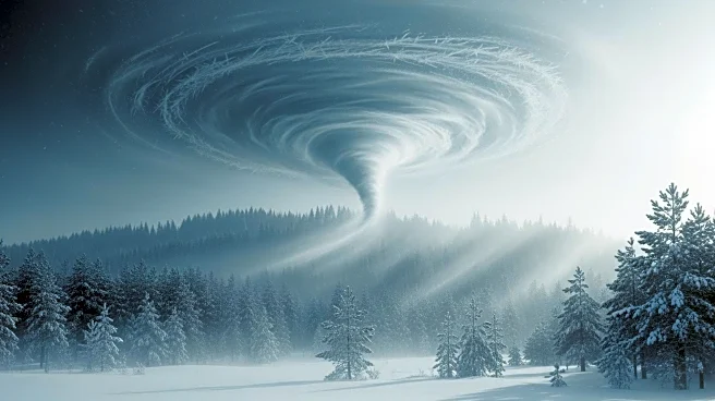
The United States is bracing for a return of the polar vortex, which is expected to bring a series of cold waves across the Midwest and East Coast. This weather pattern follows a January thaw that brought
record warmth to many parts of the country. The first wave of cold air is set to hit the East Coast on Thursday, with subsequent waves expected over the weekend and next week. These cold fronts will bring temperatures 10 to 20 degrees below average, with some areas experiencing subzero temperatures. The cold air will also affect Florida, where freezing temperatures are anticipated. Despite the chill, only a few low-temperature records are expected to be broken, highlighting the challenges of breaking such records in a warming climate.
Why It's Important?
The return of the polar vortex underscores the volatility of weather patterns and the impact of climate change on seasonal temperatures. While the Midwest and East Coast will experience significant cold, the West will continue to see unseasonably warm conditions, contributing to a snow drought. This disparity in weather conditions highlights the broader implications of climate change, where extreme weather events become more frequent and unpredictable. The cold waves could affect energy consumption, heating costs, and agricultural activities, impacting both local economies and individual households.
What's Next?
As the polar vortex continues to influence U.S. weather, there is potential for these cold conditions to persist through the end of January. Meteorologists are monitoring the situation for the possibility of a more potent winter storm forming as the cold air interacts with moisture. This could lead to significant snowfall in affected regions, further impacting transportation and daily life. Stakeholders, including government agencies and utility companies, are likely to prepare for increased demand for heating and potential disruptions caused by severe weather.