






What's Happening?
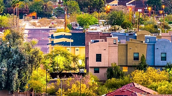
Phoenix is experiencing a series of monsoon storms that have brought much-needed rain and dust storms to the area. On July 13, 2026, severe storms moved through the East Valley, Old Town Scottsdale, and into central Phoenix, resulting in significant rainfall.
The highest recorded rainfall was 1.38 inches at Perry Park. The storms also caused temporary power outages at Phoenix Sky Harbor International Airport. The National Weather Service has indicated a slight risk of flooding in central Arizona due to the heavy rainfall expected to continue throughout the week. Temperatures are expected to drop below 100 degrees due to increased moisture and cloud cover.
Why It's Important?
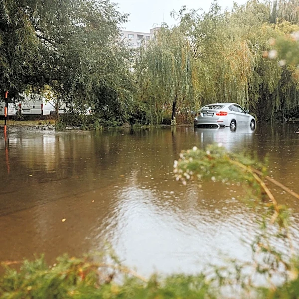
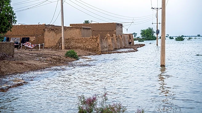
The monsoon storms are crucial for Phoenix, which has been experiencing a prolonged dry spell. The rain provides relief to the parched landscape and helps replenish water supplies. However, the storms also pose a risk of flooding, particularly in areas where the ground is unable to absorb the sudden influx of water. The potential for flooding could impact transportation and infrastructure, as well as pose a threat to public safety. The temporary power outages at the airport highlight the vulnerability of critical infrastructure to severe weather events.
What's Next?
The monsoon activity is expected to continue throughout the week, with the potential for more storms and rainfall. The Weather Prediction Center has marked central Arizona for a slight risk of flooding, which could lead to localized floods if storms stall in one area. Residents are advised to stay informed about weather updates and take precautions to protect themselves and their property. The cooler temperatures expected over the weekend may provide some relief from the heat, but the risk of flooding remains a concern.