

What's Happening?
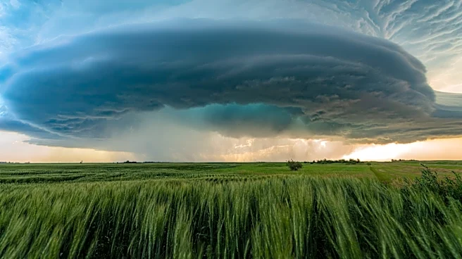
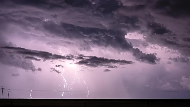
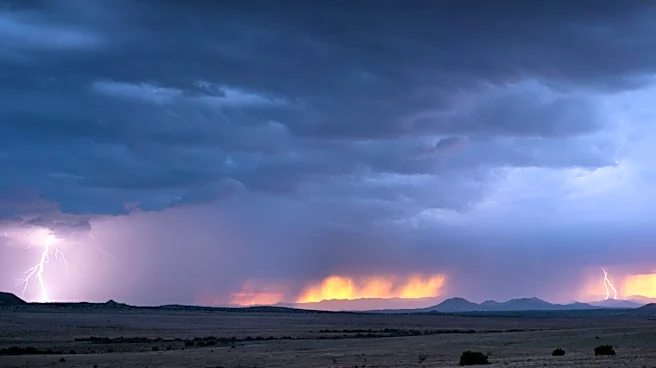
Missoula and the surrounding western Montana region are experiencing a transition in weather patterns. Showers and thunderstorms are forecast to conclude by Sunday evening, as a trough of low pressure and its cold front move eastward across Montana and Wyoming.
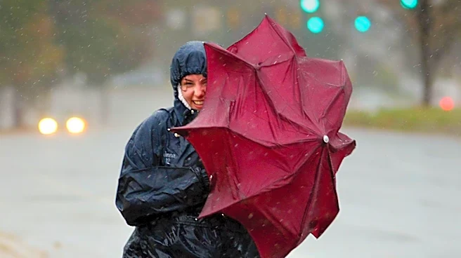
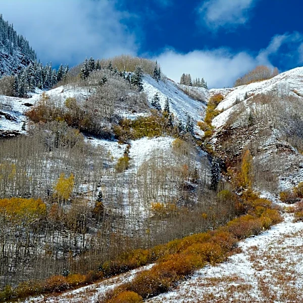
According to KPAX, western and central Montana will see these conditions through early Sunday, while eastern Montana and Wyoming will experience them in the afternoon. Following the departure of the storm system, skies are expected to clear, and temperatures will drop to below-average levels for Sunday afternoon. Gusty winds are anticipated across many areas as a post-frontal effect. Monday is predicted to be brighter with lingering breezes, though less intense than Sunday's winds. Another weather wave is expected to bring chances for rain showers and thunderstorms late Tuesday and Wednesday, potentially with more wind than rain.
Why It's Important?
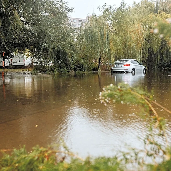
The changing weather conditions in Missoula and western Montana have several implications for residents and local activities. The conclusion of thunderstorms will alleviate immediate concerns about heavy rainfall and potential localized flooding, although a Flood Watch remains in effect for the Yellowstone Park area through Sunday morning. The gusty winds on Sunday could pose challenges for outdoor activities and potentially affect travel, particularly for high-profile vehicles. Cooler temperatures will mark a shift from recent conditions, impacting energy consumption and agricultural activities. For local businesses and event organizers, understanding these weather shifts is crucial for planning and ensuring public safety. The forecast for subsequent rain chances later in the week suggests a continued need for residents to stay informed about weather advisories.
What's Next?
Residents in Missoula and western Montana should prepare for gusty winds throughout Sunday, which may necessitate securing outdoor items and exercising caution while driving. With temperatures cooling, individuals may need to adjust their attire and heating usage. The clearing skies on Sunday afternoon will offer a respite from the recent stormy weather, providing opportunities for outdoor activities, albeit with wind considerations. Looking ahead to Tuesday and Wednesday, the forecast indicates another period of potential rain and thunderstorms, suggesting that the region will continue to experience dynamic weather patterns. Local weather services will likely provide updated advisories as these systems approach, and residents are encouraged to monitor official forecasts for the latest information.
Beyond the Headlines
The fluctuating weather patterns in Montana, characterized by alternating storm systems and gusty winds, highlight broader climate trends that can impact regional ecosystems and infrastructure. Such variability can affect water resources, agricultural yields, and the risk of wildfires, even outside of immediate storm events. The consistent mention of wind in forecasts points to its significant role in local weather phenomena, influencing everything from soil erosion to the spread of any potential fires. For a region heavily reliant on natural resources and outdoor recreation, these weather shifts underscore the importance of long-term climate adaptation strategies and robust emergency preparedness plans to mitigate potential environmental and economic impacts.