





What's Happening?
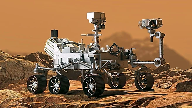
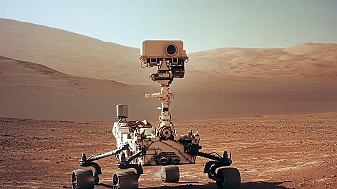
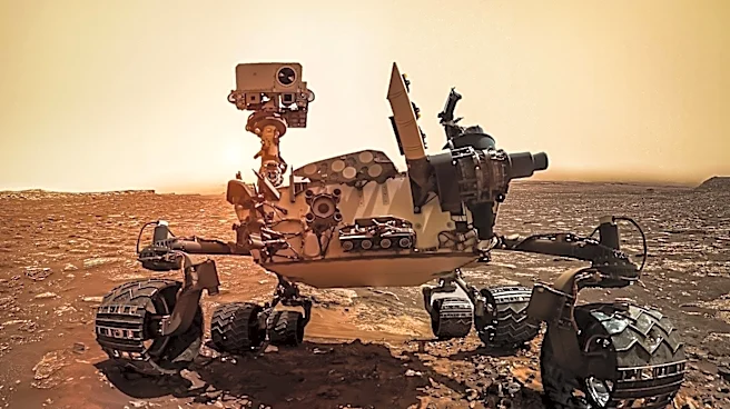
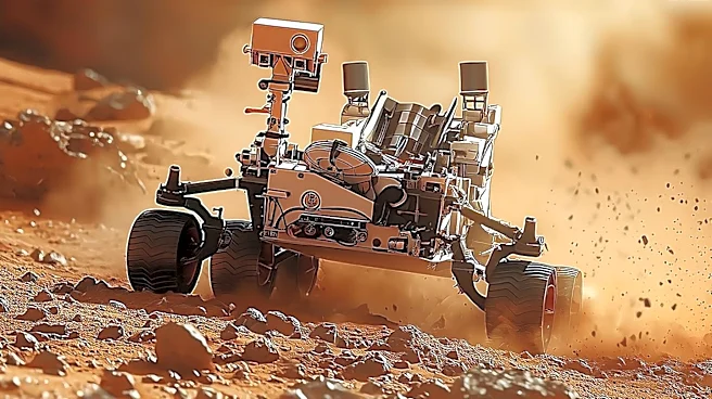
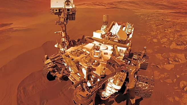
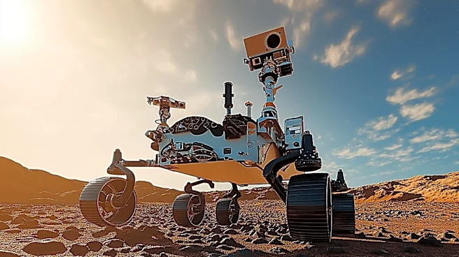
NASA's Curiosity Mars rover has captured a 360-degree view of a terrain covered with polygonal surface features on June 19 and 20, 2026. These features, ranging from 2 to 4 inches in diameter, were found in abundance around a sand-capped butte named 'Miraflores.'
The polygons are believed to form due to various conditions such as drying, temperature cycles, or sediment shrinkage. This discovery was made as Curiosity continues its ascent of Mount Sharp, a 3-mile-tall mountain it has been climbing since 2014. The images were taken by Curiosity's Mast Camera and stitched together to create a panorama, with colors adjusted to match Earth-like lighting conditions.
Why It's Important?
The discovery of these polygonal features is significant as it provides insights into the geological processes on Mars. Understanding the formation of these polygons can help scientists learn more about the planet's past environmental conditions, including the presence of water. This information is crucial for piecing together Mars' climatic history and assessing its habitability. The findings also contribute to the broader goals of NASA's Mars Exploration Program, which aims to explore the planet's surface and prepare for future human missions.
What's Next?
Scientists will continue to analyze the characteristics of the polygons to determine the exact processes that led to their formation. This analysis will involve comparing the Martian features with similar formations on Earth. The ongoing study of these features will aid in planning future missions, including those that may involve human exploration. As Curiosity continues its mission, it will likely encounter more geological features that could provide further insights into Mars' history.