


What's Happening?
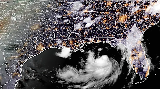
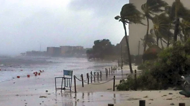
Tropical Storm Bertha is projected to weaken as it approaches the Gulf Coast, yet it remains a significant threat due to potential flooding and heavy rainfall from western Florida to Louisiana. Currently located 90 miles south-southwest of Panama City,
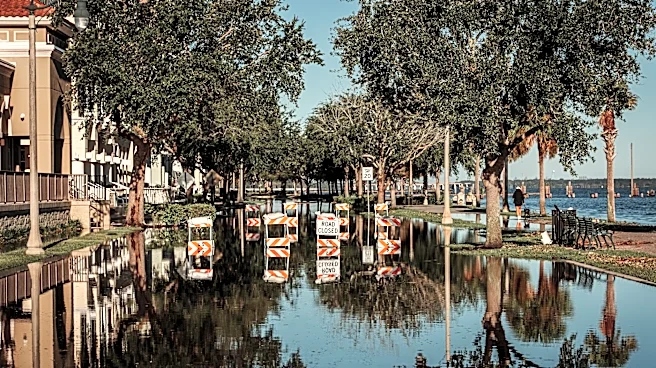
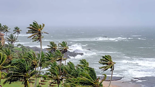
Florida, Bertha is moving northwest at 5 mph with sustained winds of 60 mph. A tropical storm warning is in effect from the Florida-Alabama border to Terrebonne-Lafourche Parish Line in Louisiana. The storm's rapid development highlights the limited preparation time for communities facing extreme weather. Authorities in Mississippi, Louisiana, and Florida are distributing sandbags and warning about rip tides. Forecasts predict 2 to 4 inches of rain, with higher amounts in some areas.
Why It's Important?
The impending arrival of Tropical Storm Bertha serves as a reminder of the challenges posed by tropical storms, particularly in terms of preparedness and response. The potential for heavy rainfall and flooding threatens infrastructure, homes, and businesses, with significant economic implications for the affected regions. The storm's rapid formation underscores the need for effective communication and swift action to protect lives and property. While the National Oceanic and Atmospheric Administration anticipates a below-average hurricane season, the risk of severe storms remains, necessitating ongoing vigilance and readiness among coastal communities.
What's Next?
As Bertha approaches, local governments and emergency services are on high alert, preparing for potential impacts. Residents are advised to stay informed and follow any safety advisories or evacuation orders. The storm is expected to weaken as it nears land, but the risk of flooding and dangerous surf conditions persists. The response to Bertha will be closely watched as a measure of the region's preparedness and resilience in the face of natural disasters. Continued monitoring and timely updates will be crucial in mitigating the storm's impact.